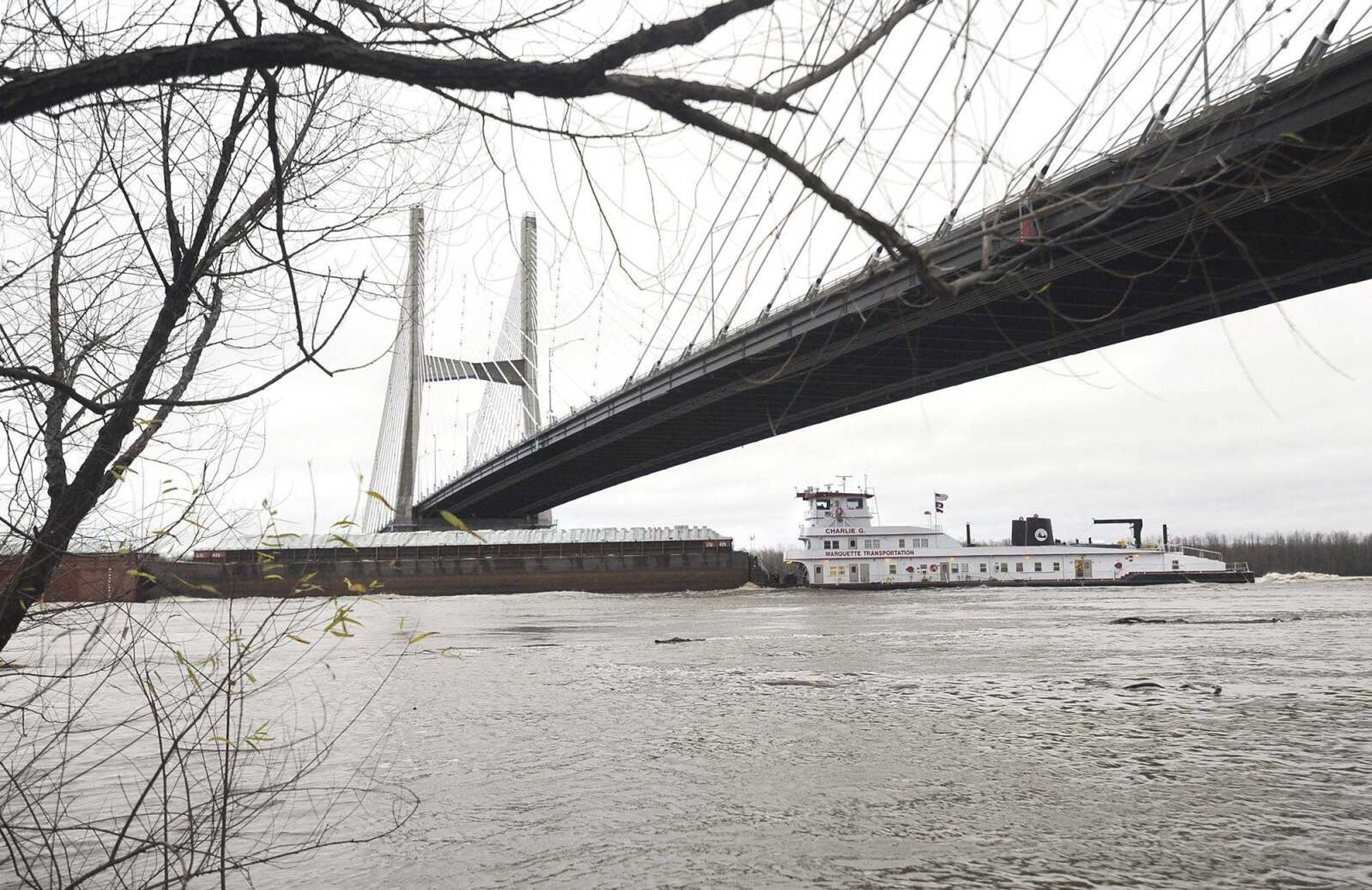
River level in Cape may hit record Saturday
What was expected to be major flooding now is shaping up to be an all-time high-water mark for Cape Girardeau. The Mississippi River is expected to rise quickly this week, cresting at 48.5 feet Saturday morning, according to predictions from the National Weather Service...
What was expected to be major flooding now is shaping up to be an all-time high-water mark for Cape Girardeau.
The Mississippi River is expected to rise quickly this week, cresting at 48.5 feet Saturday morning, according to predictions from the National Weather Service.
A crest that high would be 16.5 feet over flood stage of 32 feet and would beat the record of 48.49 feet, set Aug. 8, 1993.
With rain expected to continue through Monday, the river was observed to be over 36 feet Sunday, which is considered minor flooding. It is expected to reach moderate flood stage of 37 feet late Monday and major flood stage of 42 feet by Wednesday afternoon.
Flooding in low-lying areas, such as part of Highway 177 north of Cape Girardeau and Old Highway 61 near the Diversion Channel south of Cape Girardeau, is likely this week.
The city of Cape Girardeau has closed its floodgates at Themis Street and Broadway.
Chris Noles, meteorologist with the National Weather Service, described the precipitation being generated by the current weather system as "incredible."
"We've had a series of systems since November ... that have resulted in higher rainfall," he said. "It's adding to elevated river levels that were already in place. This is like the fourth significant rain event that we've had."
He said overall, Southeast Missouri and southwestern Illinois have seen 10 to 15 inches more rainfall than normal.
Rains this weekend have saturated the ground, increasing the likelihood of flooding.
Cape Girardeau County is among a handful of counties in Southeast Missouri and Southern Illinois to be placed under a flash-flood watch that will remain in effect through Monday night. Noles said creeks, streams and roadways are the areas most typically affected by flash flooding.
Flooding of this magnitude typically is not seen in December, Noles said.
Usually, snowmelt and precipitation cause flooding in the springtime.
Noles said it's too early to know what effect, if any, the current flooding may have on the region's larger flooding cycle.
tgraef@semissourian.com
(573) 388-3627
Connect with the Southeast Missourian Newsroom:
For corrections to this story or other insights for the editor, click here. To submit a letter to the editor, click here. To learn about the Southeast Missourian’s AI Policy, click here.


