The Swamp
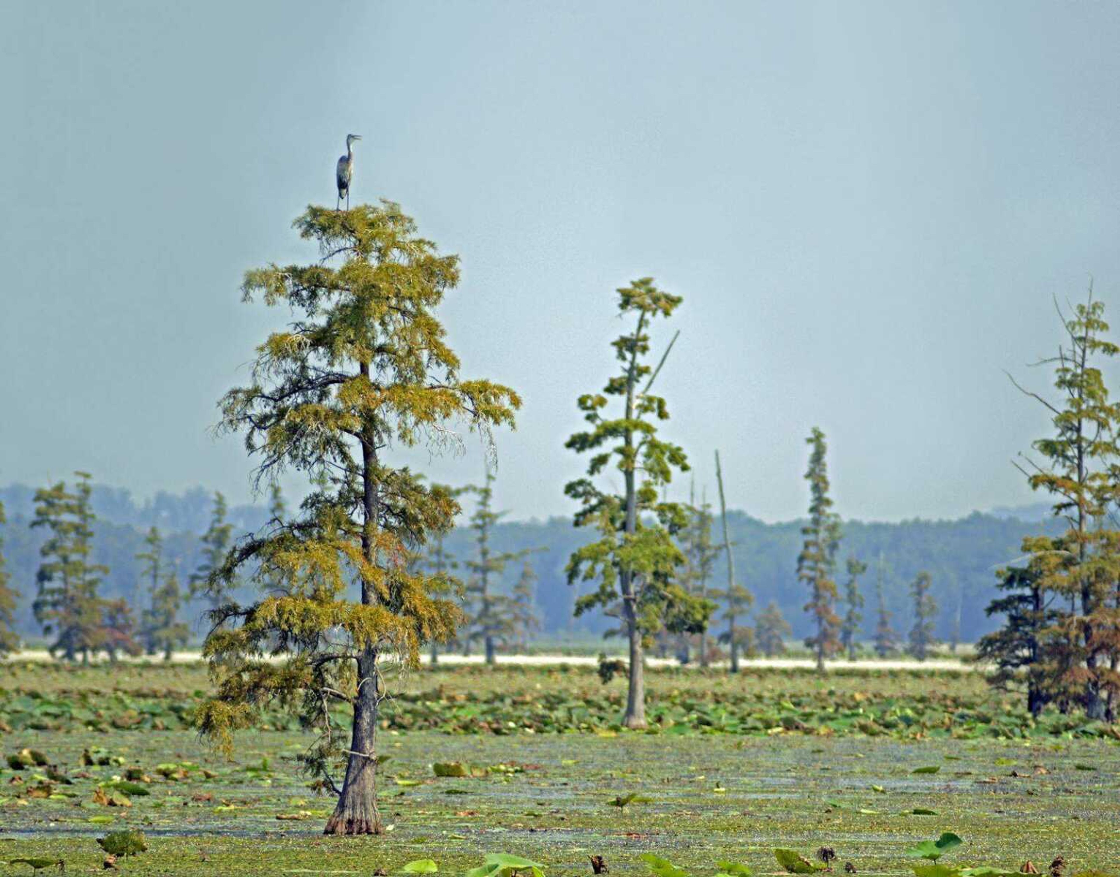
Hundreds of years ago, a scene such as this one would have been the norm for much of southeast Missouri. Very large swamps once covered more than a million acres of land in the area known as the Missouri Bootheel. Most of the swamplands were drained when a very extensive series of ditches totaling nearly 900 miles were dug by engineers working for The Little River Drainage District, an organization that was formed in 1905. Begun in 1914, the drainage project was completed in 1928...
Hundreds of years ago, a scene such as this one would have been the norm for much of southeast Missouri. Very large swamps once covered more than a million acres of land in the area known as the Missouri Bootheel.
Most of the swamplands were drained when a very extensive series of ditches totaling nearly 900 miles were dug by engineers working for The Little River Drainage District, an organization that was formed in 1905. Begun in 1914, the drainage project was completed in 1928.
I took this photo on Mingo National Wildlife Refuge, a place where about 15,000 acres of southeast Missouri swamp remains. A great blue heron stands atop a bald cypress tree overlooking shallow water covered by aquatic vegetation including the large-leafed native American lotus.
Connect with the Southeast Missourian Newsroom:
For corrections to this story or other insights for the editor, click here. To submit a letter to the editor, click here. To learn about the Southeast Missourian’s AI Policy, click here.


