The ghost town at Z and F
Cape Girardeau County has its share of ghost towns -- unincorporated communities where few if any residents dwell. One such town is Houk -- not Houck -- where highways F and Z meet, south of Tilsit, west of Gordonville. The town is Solado on a map at the county's Recorder of Deeds office, and at least one person I asked called it Bugtown or Bucktown...
Cape Girardeau County has its share of ghost towns -- unincorporated communities where few if any residents dwell. One such town is Houk -- not Houck -- where highways F and Z meet, south of Tilsit, west of Gordonville.
The town is Solado on a map at the county's Recorder of Deeds office, and at least one person I asked called it Bugtown or Bucktown.
I wouldn't have known about any of this, except I got a phone call one afternoon not long ago from a landowner whose house, he said, was the last original structure from the town still standing. It had once been the town's general store, and had later been a bed and breakfast. He was after information on how the town had been laid out because, he said, he could sort of see where the road beds had been, and where the footings of several buildings had been. A fire in 1915 or 1917 had destroyed pretty much everything. What could I tell him about the town itself?
For towns as small as Houk had been, it can be difficult to suss out much about the layout or what businesses operated there. Cape Girardeau County's plat map creation was slim during that time period, and if small towns were surveyed, that information didn't always end up being collected or preserved. I have an ancestor who operated a tin smithy in Commerce, Missouri, in the late 1800s, and it's only because historian Edison Shrum had included a hand-drawn map of Commerce that I knew where the smithy and my ancestor's home had been. Of course they're gone now -- the Mississippi River is hungry -- but I could go to Google Maps and get a rough idea of where these buildings had been.
I checked the Bureau of Land Management's online records repository (glorecords.blm.gov) and didn't find any surveys of the town, which isn't unusual. A lot of small towns were overlooked by surveyors. Sometimes a hand-drawn map will show up in cases of a property dispute or the land was split up among heirs, but those files are often hiding in circuit court records under the names of the involved parties. Not always obvious!
In Houk, a post office operated from 1889 to 1905, and the name often appears on maps -- erroneously -- as Houck, as in Louis Houck, railroad magnate and Houck Stadium namesake. But, according to the master's thesis Mayme Hamlett wrote in 1938, "Place Names of Six Southeast Counties of Missouri," the place was named for local landowners Abraham and Peter Houk.
Archives assistant Lyle Johnston did find a brief history of Houk in the Zion United Methodist Church History book, which is just down the road. It gave an account of the fire that destroyed the town in about 1918.
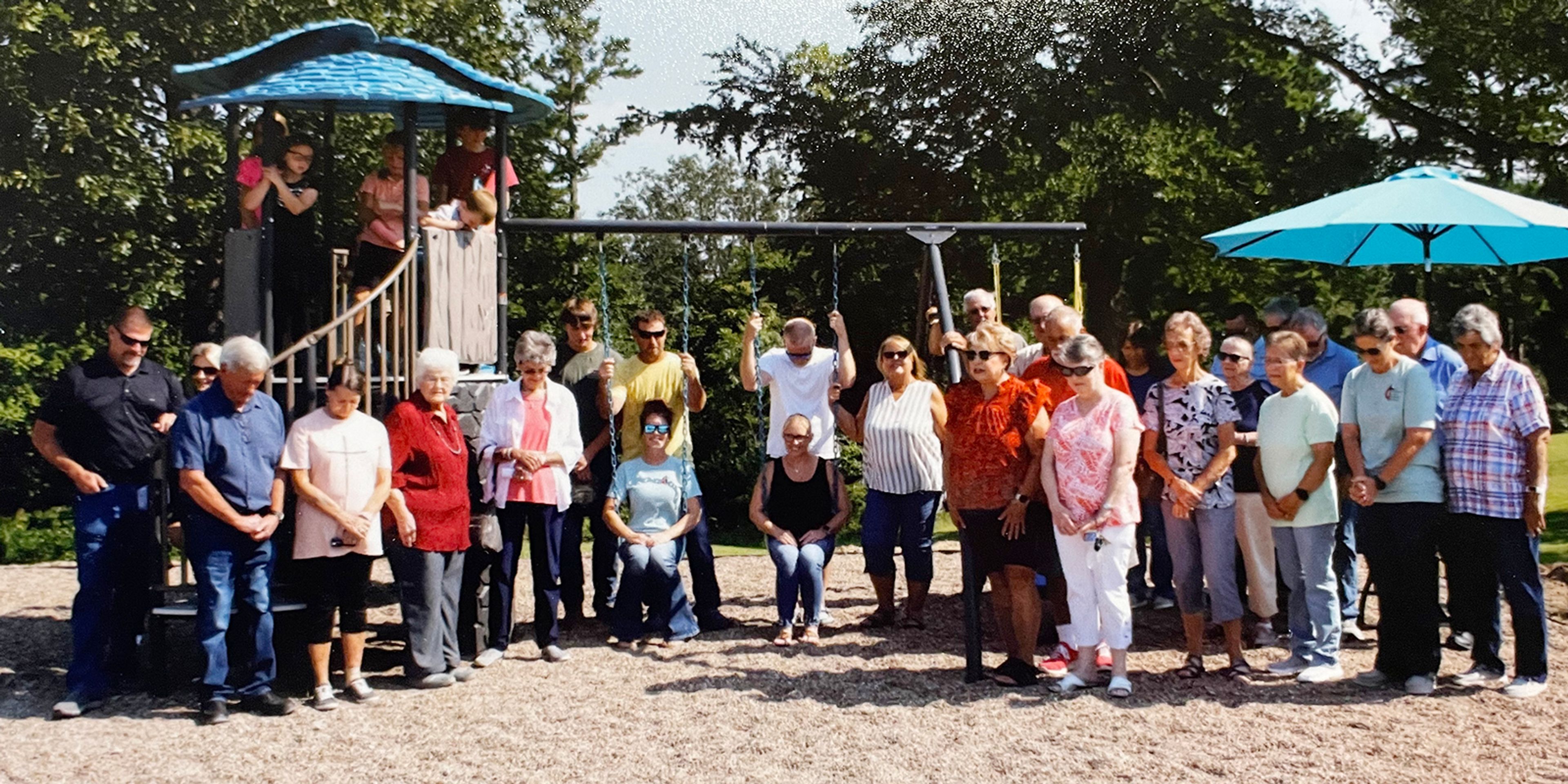
Still and yet, it is possible to drive to the junction of highways Z and F, and with some squinting and imagination, see at least a glimpse of where the town had been.
Link to Mayme Hamlett's thesis:
collections.shsmo.org/manuscripts/columbia/C2366/cape-girardeau-county
Connect with the Southeast Missourian Newsroom:
For corrections to this story or other insights for the editor, click here. To submit a letter to the editor, click here. To learn about the Southeast Missourian’s AI Policy, click here.


![A 1901 map of Cape Girardeau County shows Houck [sic] in Hubble Township.](https://public-assets-prod.pubgen.ai/brand_a7b06a8b-02b9-4920-9426-9b9be1d4e410/asset_2409bcb7-9b8d-5152-bacb-ce55b15dca90.jpg?w=3840)

