Natural attraction: Preserving the Cache River swamps
BELKNAP, Ill. -- Along the Cache River in Southern Illinois, the geographic properties of four regions of the United States meet. In this unique spot, the landscape, animals and plants of the north, south, east and west converge. The result is a mixture of landscapes, with Ozark mountains, gently rolling hills, hardwood forests and bottomland swamps filled with tupelo and cypress trees...
BELKNAP, Ill. -- Along the Cache River in Southern Illinois, the geographic properties of four regions of the United States meet. In this unique spot, the landscape, animals and plants of the north, south, east and west converge.
The result is a mixture of landscapes, with Ozark mountains, gently rolling hills, hardwood forests and bottomland swamps filled with tupelo and cypress trees.
"They all four meet right here in the southern tip of the state," said Elizabeth Jones with the Illinois Department of Natural Resources. "This place was created for plants and habitats for species from all four."
A new $4 million visitor center at the Cache River State Natural Area recently opened. The 7,500-square-foot Henry N. Barkhausen Visitor Center is designed to teach visitors about the wonders of this unique plot of land nestled between the Mississippi and Ohio rivers in Southern Illinois.
The center is surrounded by a shallow sea of wetlands on all sides. Out of all the geographic features in the river basin, the swamp is one of the most remarkable.
"This is a true southern swamp in its northernmost range," said
Jim Waycuilis, site superintendent at the center said people tend to think of Southern Illinois as just farm fields.
Jones, who formerly lived in Florida, compares the swamp to those she saw in the deepest of the Deep South. "You look at it and expect to see an alligator in there."
The wetlands in the Cache River basin are so unique they have garnered a coveted title among nature buffs: Wetland of International Importance. Other areas with that title include the Okefenokee swamp in Florida and the Florida Everglades. Only 19 of the sites exist in the United States. The closest of such sites is Lower White River Joint Venture Area in Arkansas.
The Cache River Natural Area is home to numerous animal and plant species. Within the site's 14,314 acres, visitors will see such things as 1,000-year-old cypress trees (11 state champion trees are in the park), three types of venomous snakes and a plethora of bird species.
The visitor center gives an extensive history not only of the wetlands themselves but also of the cultures that lived in the area since it was first inhabited following the last Ice Age. Displays in the center give detailed information about the species that inhabit the wetlands and the geographic features of the area.
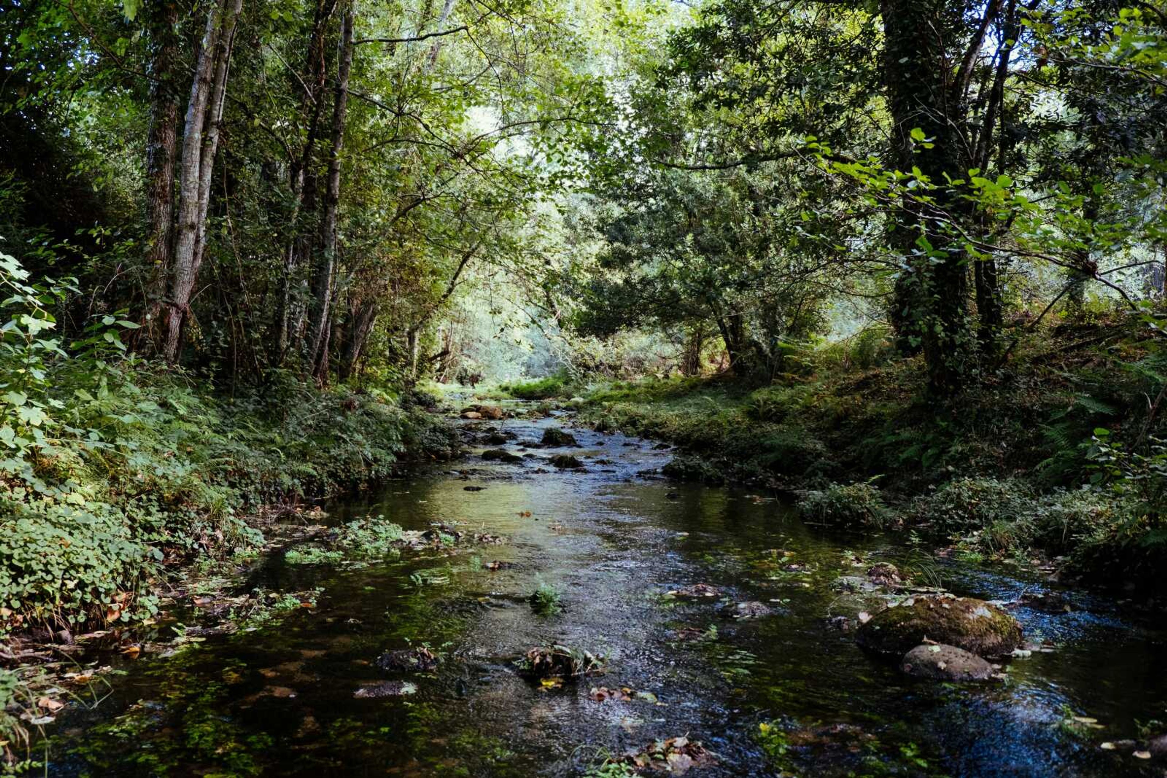
While the inside of the center is educational, the areas outside are serene and breathtaking. Cypress trees stand seemingly suspended on a field of green which, upon closer inspection, turns out to be swamp water. On sunny days, several species of turtles can be seen sunning themselves on the decaying logs that feed the wetland habitat.
Hiking and biking trails wind through the natural area, with 21 miles of foot trails alone running through the swamps and forests. A floating boardwalk at Heron Pond takes visitors directly over the watery floor. Those who prefer to get even closer can take a canoe through a cypress and tupelo swamp.
But the pristine beauty almost didn't make it. Only half a century ago, it seemed as if the wetlands of the Cache River basin might perish forever.
After World War II, massive drainage projects depleted much of the area's wetlands, almost sealing the doom of the river basin's unique northern swamp. By the late 1970s, less than one percent of the area was left in its natural state, said Waycuilis.
Then both government and private groups got involved, working to preserve the valuable wetlands. In total, 35,000 acres of wetlands have been restored in Southern Illinois, with a goal of 60,000.
That 35,000 more acres of land has reverted to its natural state for locals and visitors to enjoy.
Want to go?
Cache River State Natural Area
Where: Route 37, nine miles south of Route 146 in Southern Illinois
Info: (618) 634-2231
Connect with the Southeast Missourian Newsroom:
For corrections to this story or other insights for the editor, click here. To submit a letter to the editor, click here. To learn about the Southeast Missourian’s AI Policy, click here.


