Around the bend: Vicksburg, Miss., to Mile Zero: Day two
Monday, Sept. 21, 2009 Our day started at 0500 this morning because Danny thought it was 0600. We were on the water by 0730. We think we missed seeing our first gator as we paddled away from camp this morning. We were joking about a passing log on our right looking so much like an alligator when we heard a loud splash at the edge of the water on our left. ...
Monday, Sept. 21, 2009
Our day started at 0500 this morning because Danny thought it was 0600. We were on the water by 0730.
We think we missed seeing our first gator as we paddled away from camp this morning. We were joking about a passing log on our right looking so much like an alligator when we heard a loud splash at the edge of the water on our left. From the size of the splash and the tracks in the sand, we're pretty sure a gator had been lying at the river's edge less than 100 yards from our camp. We hadn't checked for tracks this morning. We're still new at this gator-hunting business!
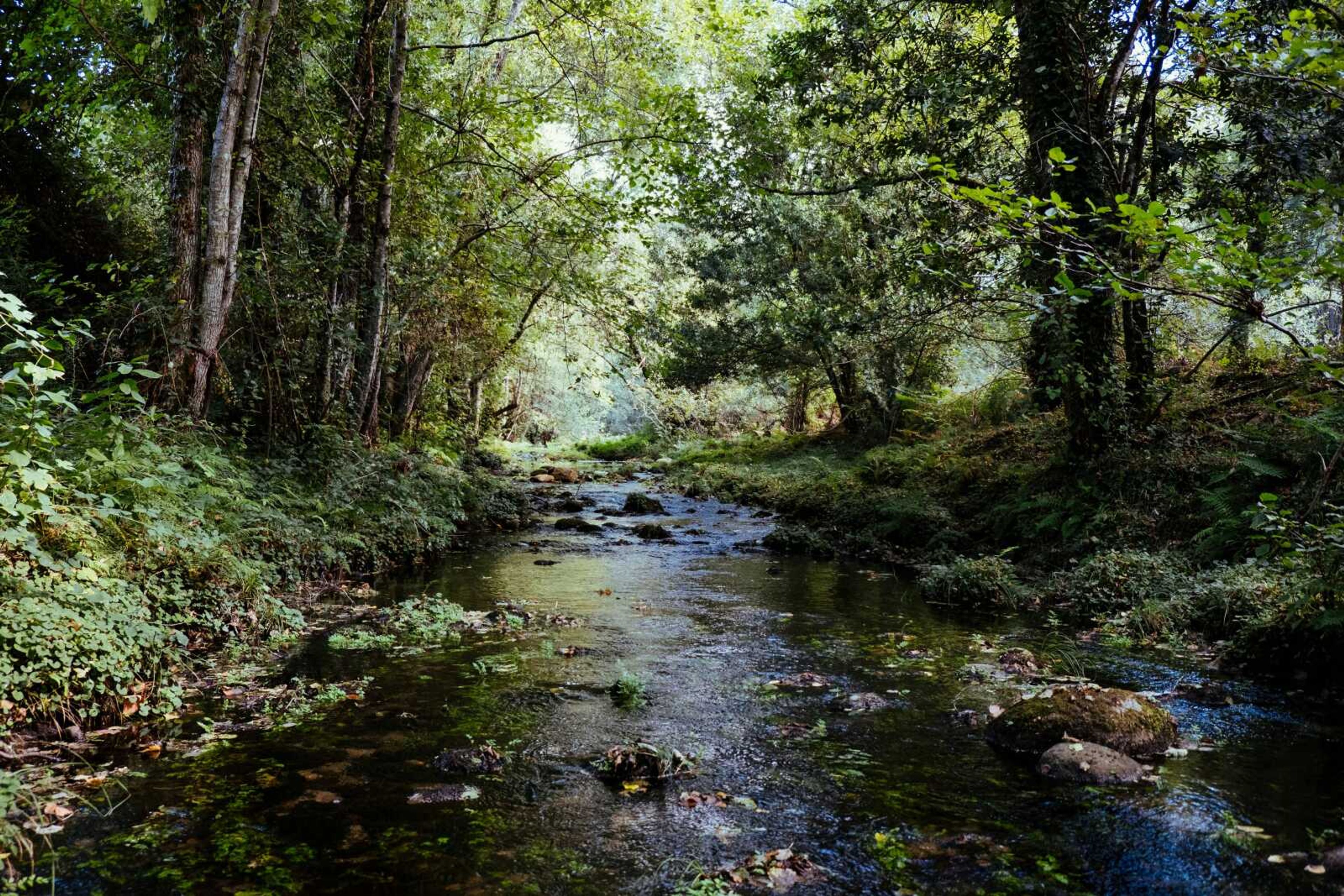
About half the way to Natchez, Miss., a crop duster plane decided to have a close look at us. As he approached from the east, I waved my paddle overhead and he waved back with his wings. He then dipped the nose of his yellow biplane down and came in low over our heads. It would have made a great picture but I couldn't get to my camera fast enough. Today wasn't a very good day for picture-taking, anyway. A heavy haze all morning made it hard to see clearly for very far, and rain most of the afternoon meant the camera had to stay in the dry bag.
We made it to Natchez in time to have a good lunch at the casino boat buffet. While recharging my cellphone, I called both my brothers, Steve and Phil.
From beneath Natchez's twin bridges, as we were leaving, we watched the horizon in the distant river bend disappear behind an approaching wall of rain. The lightning sent us toward the nearest bank, where we pulled on our rain gear and continued paddling along the bank.
The worst of the storm passed in about 40 minutes, but the rain continued off and on until just before we stopped to make camp. We had just enough time to set up our tents before it started again.
It was 1900 and almost dark as we made camp today, and the mosquitoes drove us into our tents immediately. We usually stop by 1700 to make camp, but today, after 45 miles, I suggested we try for a 50-mile day since it was still raining. Looking at the chart, I told Danny after one more crossing and around the next point, we'd be at 50 miles and we could camp at the first sandbar around that point. There are usually plenty of good sandbars just below a point, but not this time! Rounding that last point, we saw miles of straight river and no sandbars. We finally found a stretch of gravel at the foot of a grassy bluff. So we got our 50 miles as planned, and another 1.5 while looking for a good campsite. A record 51.5-mile day! We had decided to push on to 50 miles because it was raining when we reached 45 miles, and we didn't want to make camp in the rain. Besides the rain, we had the river to ourselves, no barges, calm, flat water, decent temperatures and stomachs full from the buffet at Natchez.
The problem was we paddled beyond the Corps of Engineers charts I had loaded into my map case for the day. The charts I had stopped at that last point. If I had had the next chart, I would have seen the straight stretch around that point and might have suspected the lack of sandbars. Earlier in the day, Danny and I had been discussing if the COE charts were really necessary. Yes, you could get by without them, but why?
Our tents are on the top of the bluff and Elvira is guarding the kayaks that are tied to a cypress tree stump on the gravel bar. This grassy area has been bush hogged. The landowner probably comes out here to fish or just enjoy the view. I hope we don't have a disgruntled landowner waking us up tonight!
It is after 2100 and this record day has worn this ol' telephone man out! My granddaughter, Anisa, informed me I will be officially "old" next June when I turn 60. I'll have to take it easier tomorrow. I don't want to use up my last nine months of "young" too fast.
95.5 down, 342.5 to go and 10 back up!
Connect with the Southeast Missourian Newsroom:
For corrections to this story or other insights for the editor, click here. To submit a letter to the editor, click here. To learn about the Southeast Missourian’s AI Policy, click here.


