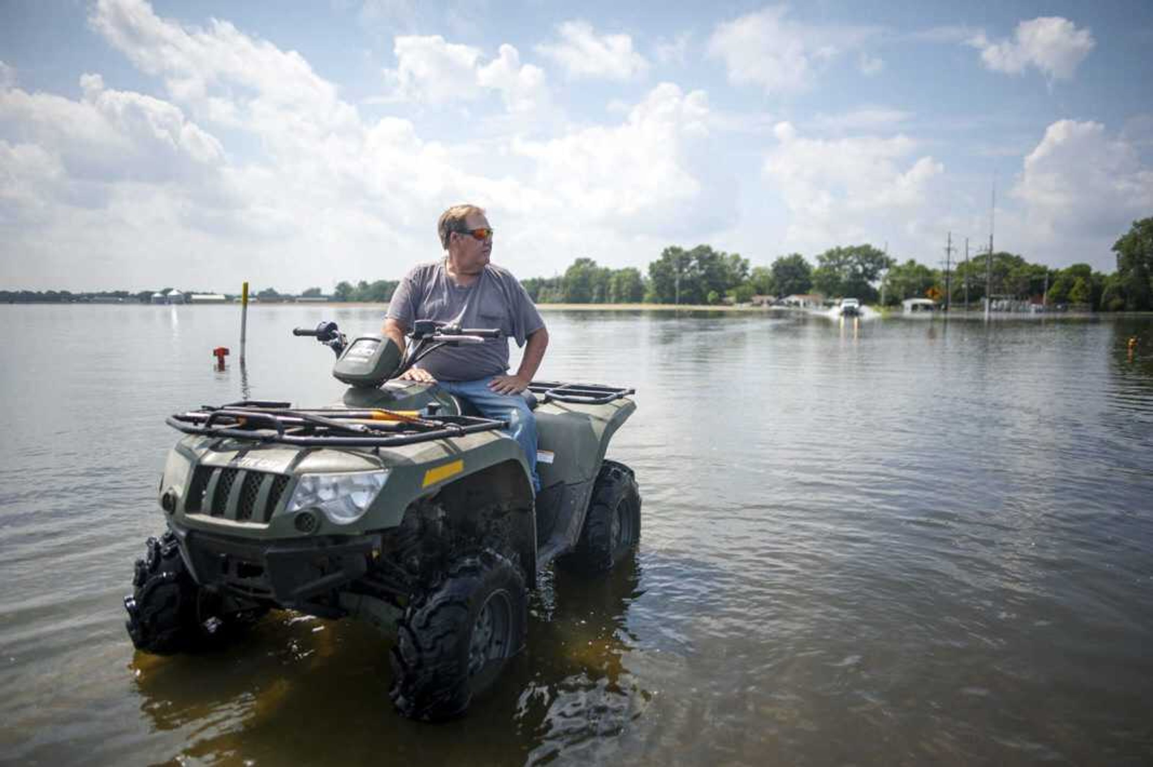
River falls below 40 feet; Ill. highways still weeks away from reopening
The Mississippi River stage at Cape Girardeau fell below 40 feet Monday, marking the first time since May 3 the river has been in the “30-something” range. On Monday afternoon, the Cape Girardeau gauge reading was 39.8 feet, still nearly 8 feet above flood stage of 32 feet, but just over 6 feet below the river’s crest of 46.29 feet measured June 12. That was the fifth-highest crest recorded at Cape Girardeau over the past 80 years, according to National Weather Service statistics...
The Mississippi River stage at Cape Girardeau fell below 40 feet Monday, marking the first time since May 3 the river has been in the “30-something” range.
On Monday afternoon, the Cape Girardeau gauge reading was 39.8 feet, still nearly 8 feet above flood stage of 32 feet, but just over 6 feet below the river’s crest of 46.29 feet measured June 12. That was the fifth-highest crest recorded at Cape Girardeau over the past 80 years, according to National Weather Service statistics.
The latest forecast by the National Weather Service in Paducah, Kentucky, and the U.S. Army Corps of Engineers calls for the river at Cape Girardeau to remain above the 32-foot flood stage until July 24. By that time, the river will have been above flood stage for a record 133 consecutive days. That will surpass the previous record of 125 days set between June 10 and Oct. 12, 1993.
Cape Girardeau public works director Stan Polivick said if the river continues to drop at its current pace, the city may be able to open the Broadway and Themis Street floodgates as soon as the end of next week. Although the river will still be above flood stage, Polivick said it will be low enough to open the gates.
“There’s an outside chance we could do that on June 19th, which is a Friday, but it’s more likely on Monday the 22nd,” he said. However, he added public access to the river side of the floodwall won’t be allowed until the Cape Girardeau Parks Department has a chance to clear Riverfront Park and the walking trail along the floodwall of driftwood and other flood-related debris.
Meanwhile, on the Illinois side of the river in Alexander County, pumps continue to siphon more than 100,000 gallons of seep water from flooded fields every minute. Illinois Routes 146 on either side of East Cape Girardeau and Illinois Route 3 between McClure and Gale remain closed with about a foot of water covering the pavement in some spots. The Illinois Department of Transportation expects the closures to last for at least several more weeks, even after floodwaters recede, allowing time for the highways to be inspected for any flood-related damage.
Illinois Route 3 between McClure and the Union County line remained open Monday, although sections of it are covered by several inches of water.
According to the Corps of Engineers, the seep water will drain from the county much more quickly once the river drops another 3 or 4 feet, allowing flood gates along the county’s levee system to be opened and water to escape back into the river.
Connect with the Southeast Missourian Newsroom:
For corrections to this story or other insights for the editor, click here. To submit a letter to the editor, click here. To learn about the Southeast Missourian’s AI Policy, click here.


