
- Email link
- Contact editor
- Report error
- Share:


Flooding - June 22
Floodwater from the Mississippi River continues to cause problems, Monday, June 22, 2015.
-
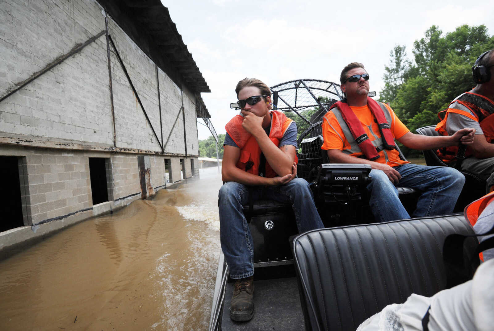
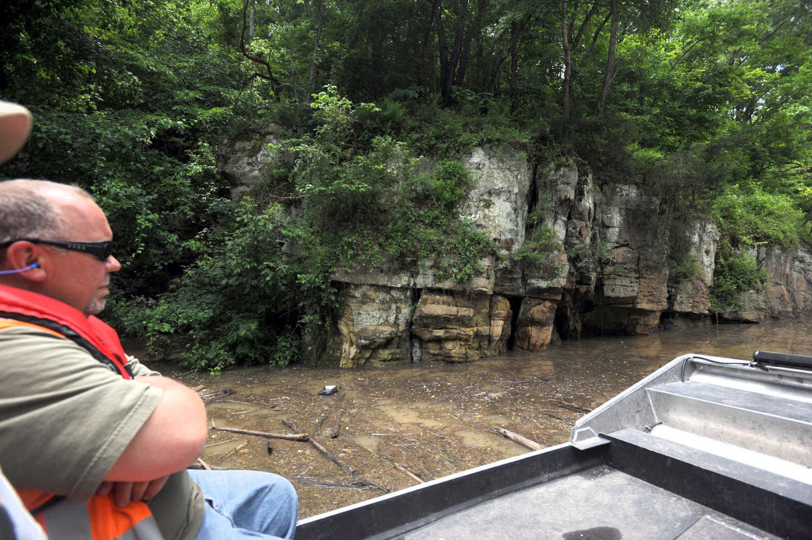
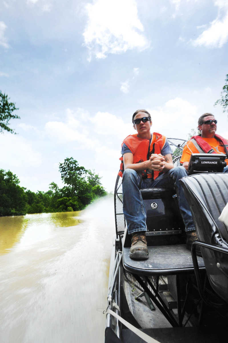 Austin Decker, left, and John Taylor, with SEMO Services, cruise along the flooded railway tracks near Menfro, Missouri, Monday, June 22, 2015. Decker and Taylor, along with workers from BNSF Railway took the airboat down the flooded railway along Bois Brule Creek in Perry County to measure the depth of the floodwater on the railroad tracks. The depth in the area was five feet. (Laura Simon)
 -
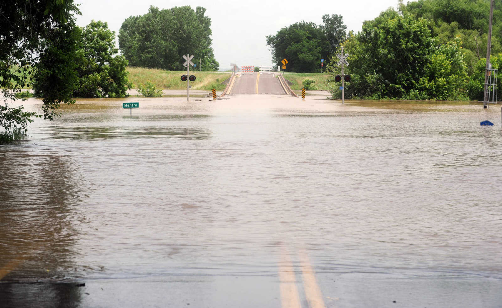 Floodwater covers Highway C in Menfro, Missouri, Monday, June 22, 2015. (Laura Simon)
 -
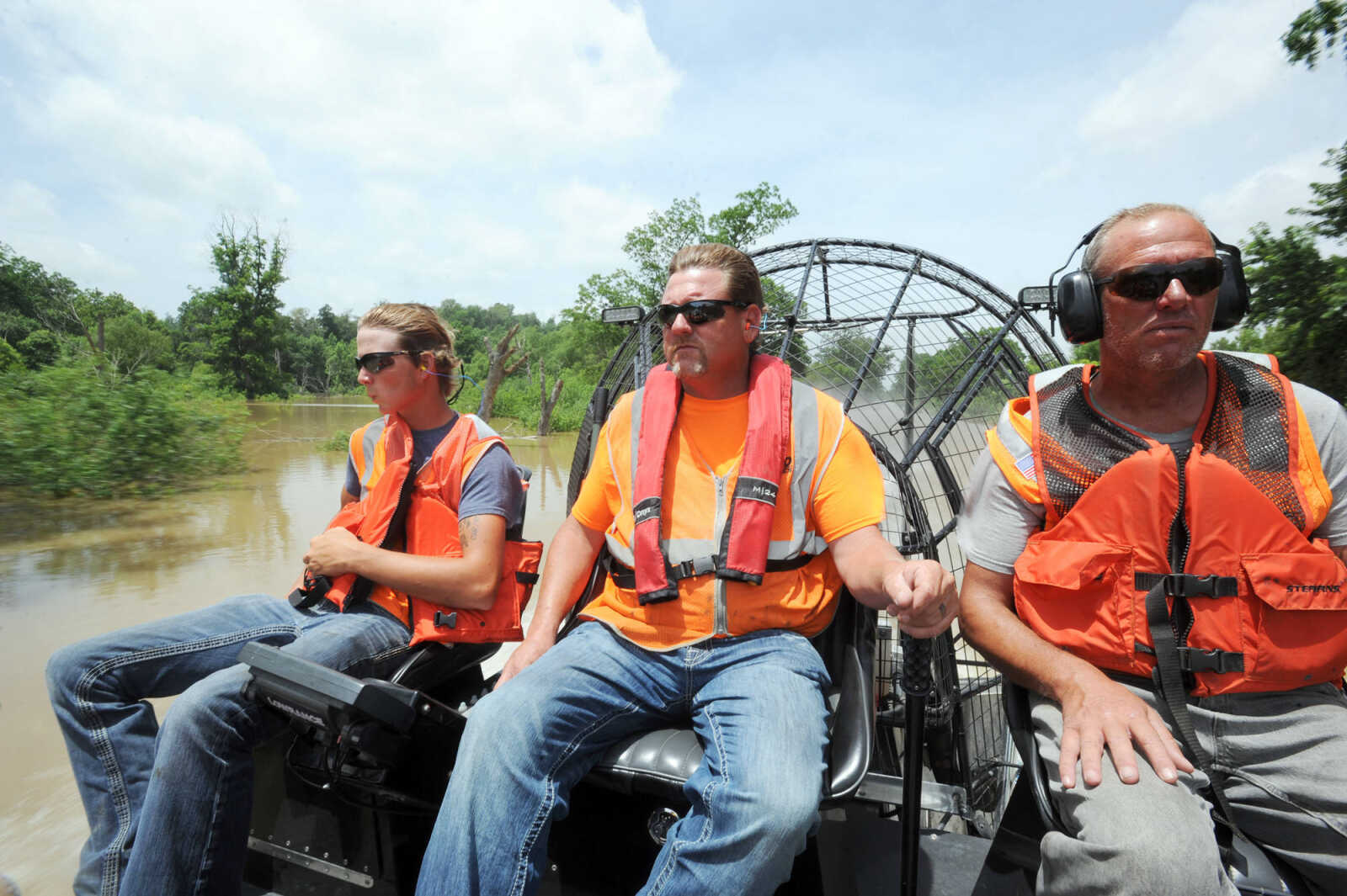 Austin Decker, left, and John Taylor, center, with SEMO Services, and Tag Olson with BNSF Railway, cruise down the flooded railway in Menfro, Missouri, Monday, June 22, 2015. The men were measuring the depth of the floodwater on the railroad tracks. The depth in the area was five feet. (Laura Simon)
 -
 Highway A in Perry County, as seen Monday, June 22, 2015, is closed near the entrance of Tower Rock Conservation Area. (Laura Simon)
 -
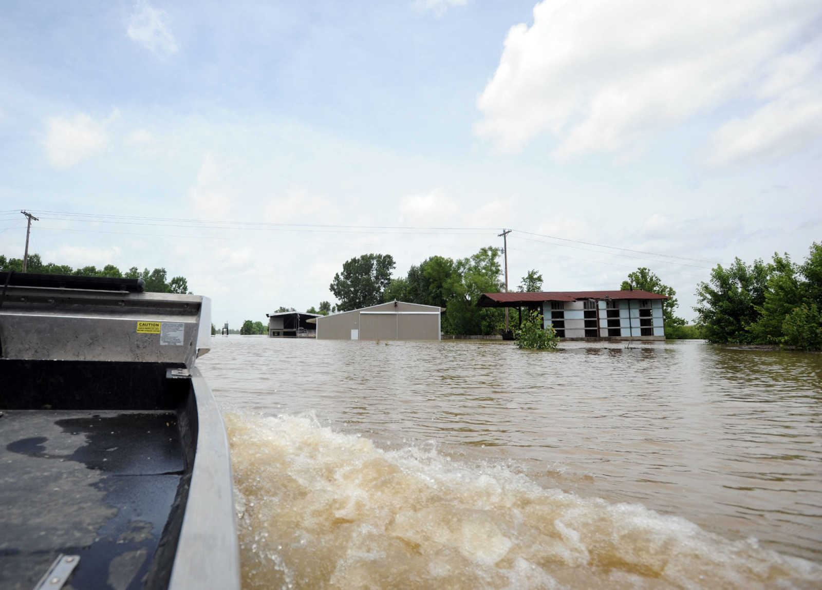
 A partially flooded farm field is seen along U.S. 51, just outside McBride, Missouri, Monday, June 22, 2015. (Laura Simon)
 -
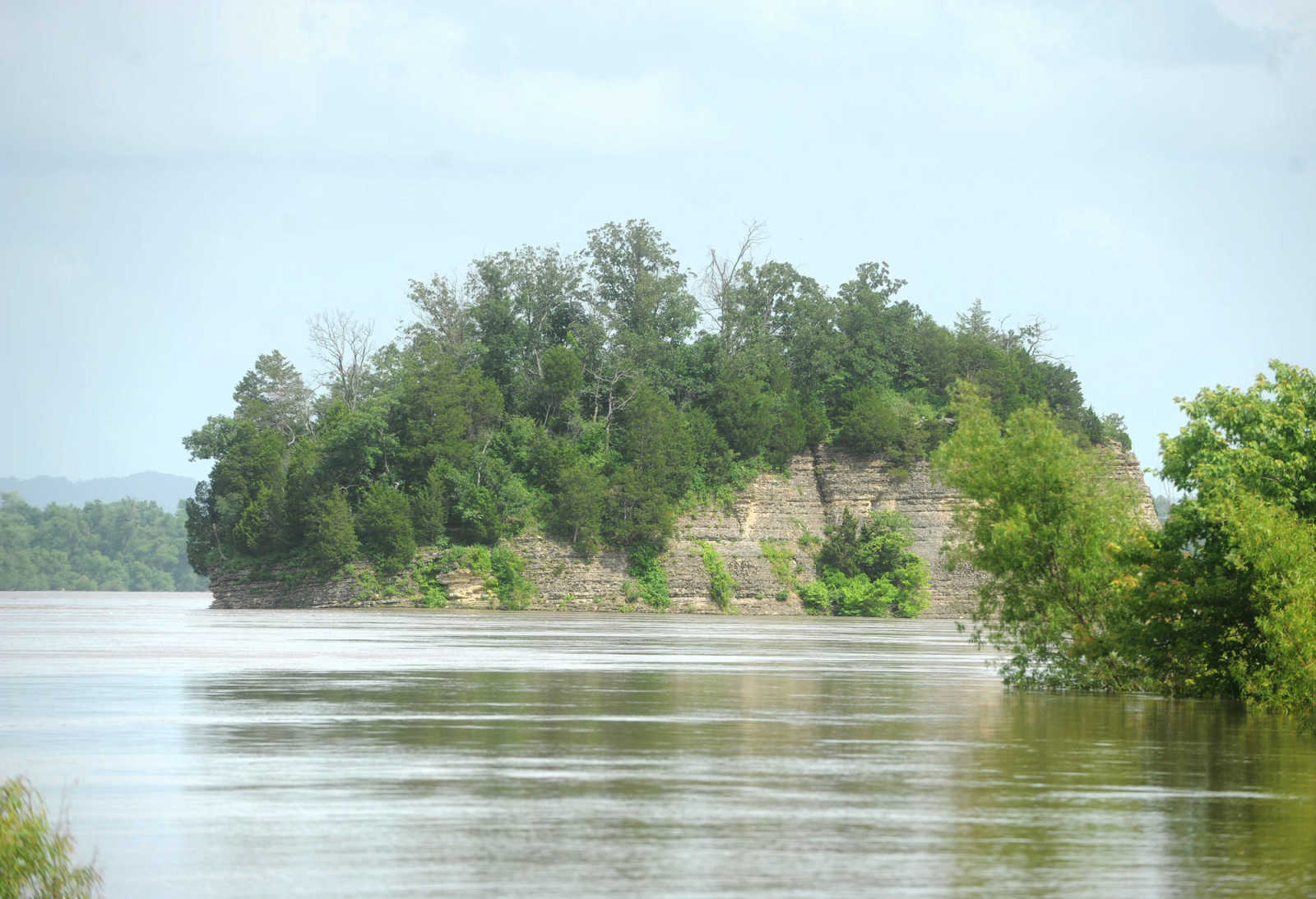 Tower Rock pokes out of the swollen Mississippi River, Monday, June, 22, 2015. The road to Tower Rock is covered by floodwaters at the base of the tracks. (Laura Simon)
 -
 Austin Decker, left, and John Taylor, with SEMO Services, cruise along the flooded railway tracks near Menfro, Missouri, Monday, June 22, 2015. Decker and Taylor, along with workers from BNSF Railway took the airboat down the flooded railway along Bois Brule Creek in Perry County to measure the depth of the floodwater on the railroad tracks. The depth in the area was five feet. (Laura Simon)
 -
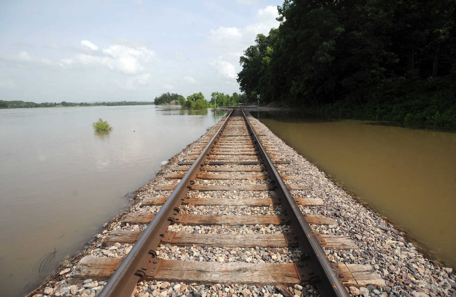
 Floodwater covers the railroad tracks in Menfro, Missouri, Monday, June 22, 2015. (Laura Simon)
 -
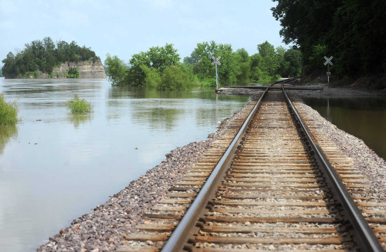
 Tower Rock lurks in the distance as floodwaters encroach on the railroad tracks near the conservation area, Monday, June, 22, 2015. The road to Tower Rock is covered by floodwaters at the base of the tracks. (Laura Simon)
 -
 Grand Tower, Illinois is seen across the swollen Mississippi River from Wittenberg, Missouri, Monday, June 22, 2015. (Laura Simon)
 -
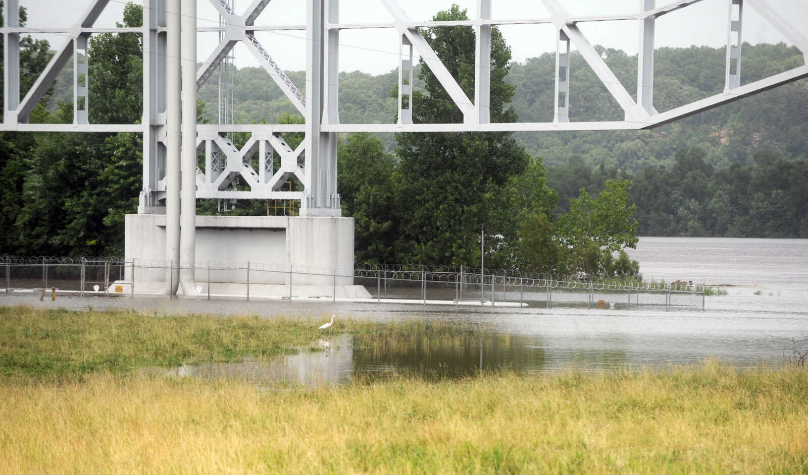 A swollen Mississippi River creeps up on the pipeline bridge at Wittenberg, Missouri, Monday, June 22, 2015. (Laura Simon)
 -
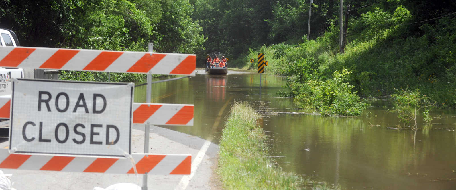
 Harold Moore rides an airboat along floodwaters in Menfro, Missouri, Monday, June 22, 2015. (Laura Simon)
 -
 Minnows swim in the floodwaters covering the road at Seventy-six Conservation Area in Perry County, Missouri, Monday, June 22, 2015. (Laura Simon)
 -
 Austin Decker, left, and John Taylor, with SEMO Services, cruise along a flooded Highway C in Menfro, Missouri, Monday, June 22, 2015. Decker and Taylor, along with workers from BNSF Railway took the airboat down the flooded railway along Bois Brule Creek in Perry County to measure the depth of the floodwater on the railroad tracks. The depth in the area was five feet. (Laura Simon)
 -
 Tag Olson, right, and Harold Moore, with BNSF Railway, dip a pole into the floodwater over the railway tracks near Menfro, Missouri, Monday, June 22, 2015. Olson and Moore were measuring the depth of the floodwater on the railroad tracks. The depth in the area was five feet. (Laura Simon)
 -
 Tower Rock lurks in the distance as floodwaters encroach on the railroad tracks near the conservation area, Monday, June, 22, 2015. The road to Tower Rock is covered by floodwaters at the base of the tracks. (Laura Simon)
 -
 Tower Rock lurks in the distance as floodwaters encroach on the railroad tracks near the conservation area, Monday, June, 22, 2015. The road to Tower Rock is covered by floodwaters at the base of the tracks. (Laura Simon)
 -
 Harold Moore, with BNSF Railway, dips a pole into the floodwater over the railway tracks near Menfro, Missouri, Monday, June 22, 2015. Moore was measuring the depth of the floodwater on the railroad tracks. The depth in the area was five feet. (Laura Simon)
- Email link
- Contact editor
- Report error
- Share: