
- Email link
- Contact editor
- Report error
- Share:


Severe storm strikes Cape Girardeau County
The weather turned ugly in a hurry over portions of Cape Girardeau County as a slow-moving storm produced funnel clouds, large hail, and flash flooding during the afternoon of Tuesday, April 12, 2005.
-
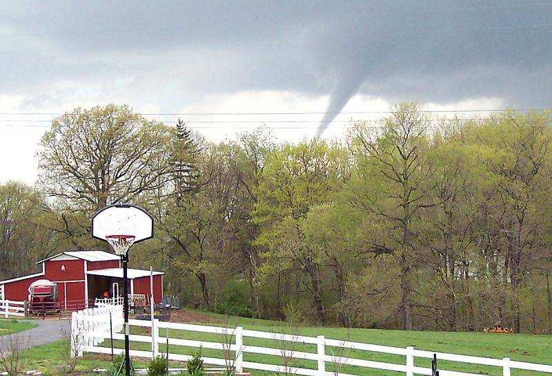 Billy H. Garner shot this picture of a funnel cloud from his house on County Road 318. "It is looking west, and would probably be about a mile north of Gordonville," he said.
 -
 A clearly formed funnel cloud was seen hovering above the Bent Creek area of Jackson at 1:34:01 PM. (Don Frazier)
 -
 At 1:34:24 PM the cloud was shrinking rapidly. (Don Frazier)
 -
 By 1:34:54 PM the cloud had almost dissipated.
 -
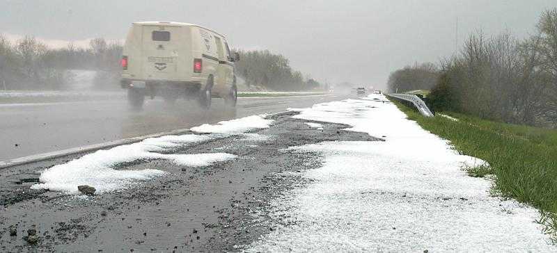 Hail accumulated on the side of Highway 55 near the Fruitland exit. (Diane L. Wilson)
 -
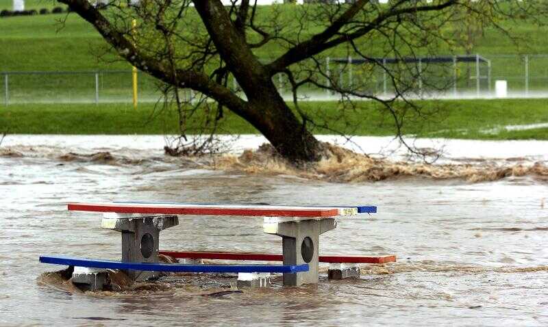
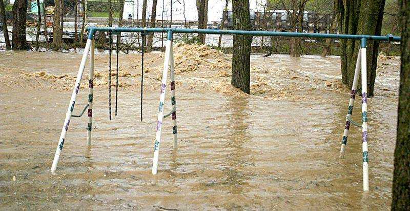
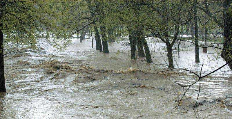 Water rushed around the trees in Jackson City Park. (Diane L. Wilson)
 -
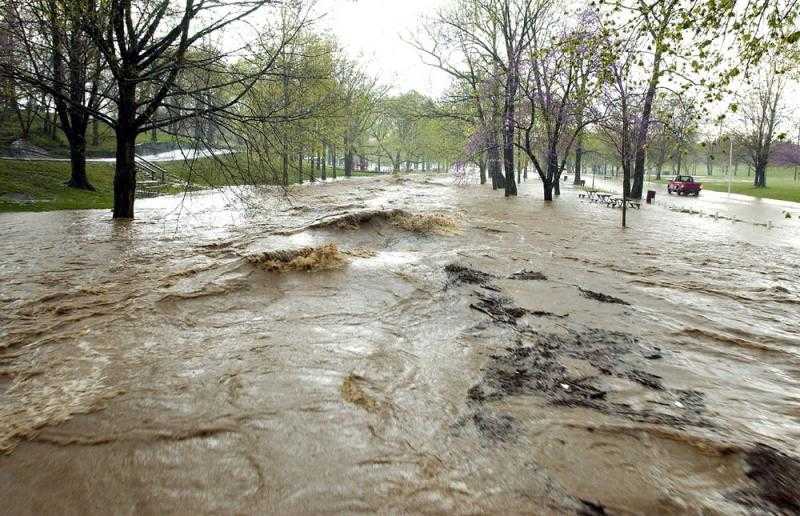 Storm water in Hubble Creek raced past a lone pickup truck, right, attempting to make its way through Jackson's City Park. (Don Frazier)
 -
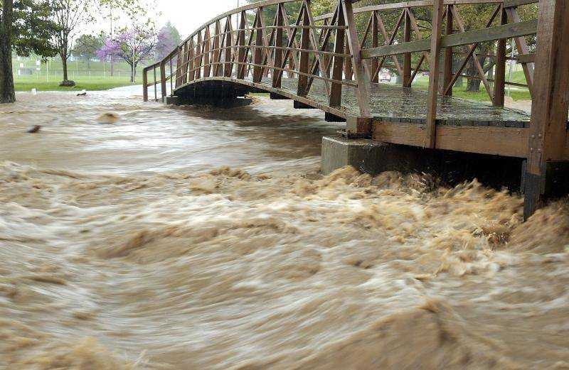 Storm water rushed under the pedestrian bridge in Jackson City Park. (Don Frazier)
 -
 Unable to contain all of the runoff, a swollen Hubble Creek raced past the outdoor dinning area of Wib's Drive In. (Don Frazier)
 -
 Hubble Creak rushed through a backyard off Highway 61 in Jackson near Route Y. (Diane L. Wilson)
 -
 Water rushed under an outer road near the Fruitland interchange. (Diane L. Wilson)
 -
 Storm clouds hovered over Highway 61 in Jackson. (Diane L. Wilson)
 -
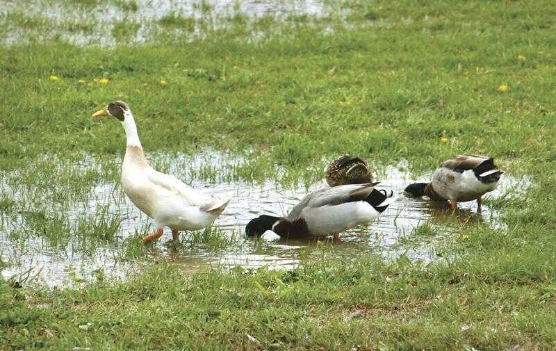 These ducks at Capaha Park checked out the new water left by the first downpour Tuesday. Heavier rain followed later. (Fred Lynch)
 -
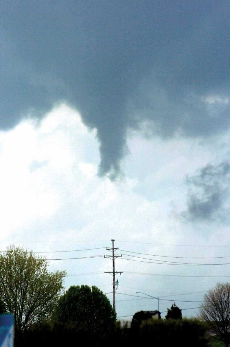
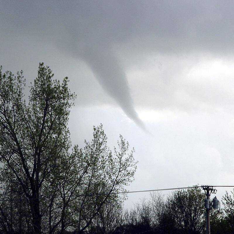 Dennis Turner captured this photo of a funnel cloud as seen from Jackson City Park.
 -
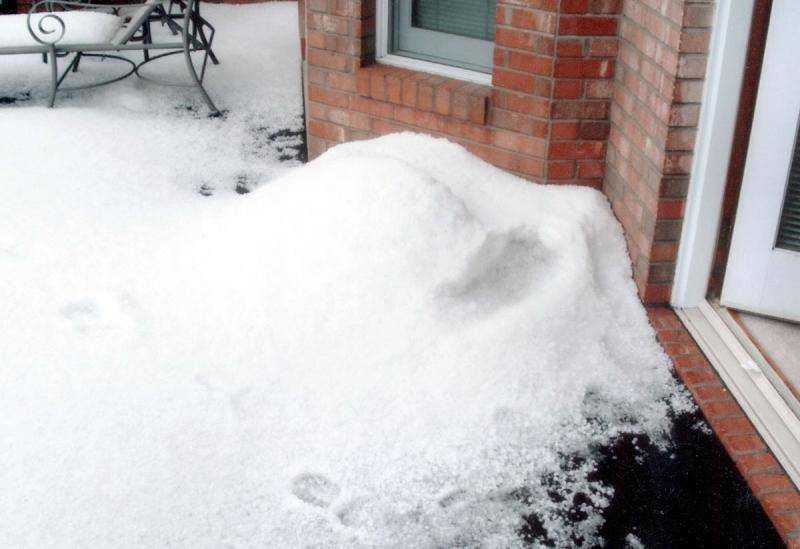
 Sharon Pinkerton took these pictures of hail at the Jackson home of her daughter, Sandy Penzel, Tuesday afternoon. At the back patio, hail had drifted up against the house.
 -
-
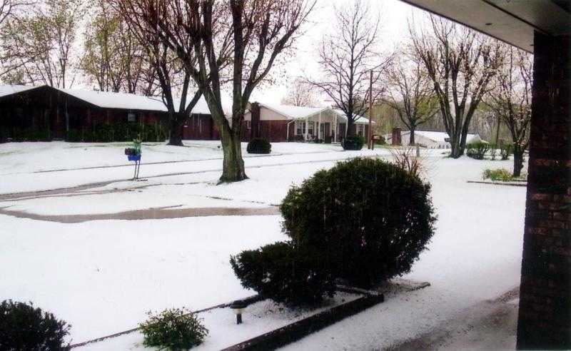 Jack and Janene Givens submitted this photo of the hail accumulation in front of their home on Shalom Street in Jackson. "We had a river running across our driveway, down the street. I've never seen anything like it in my life."
- Email link
- Contact editor
- Report error
- Share: