
- Email link
- Contact editor
- Report error
- Share:


Cape Girardeau aerials historical gallery
Garland D. "Frony" Fronabarger took hundreds of aerial photos of Cape Girardeau during his tenure as the Southeast Missourian's photographer. Fronabarger joined the newspaper in 1927 and retired in 1986. Staff members have chosen a few to share.
-
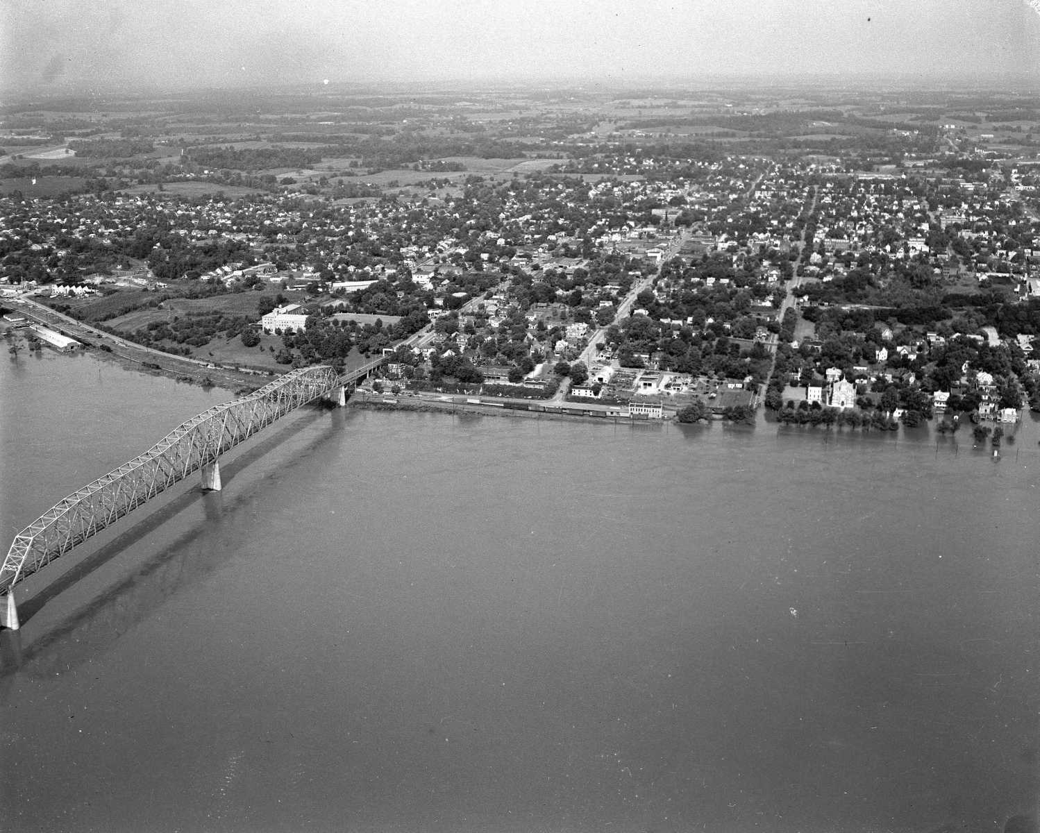 The Cape Girardeau river bridge is to the left during a time of flooding along the Mississippi.
 -
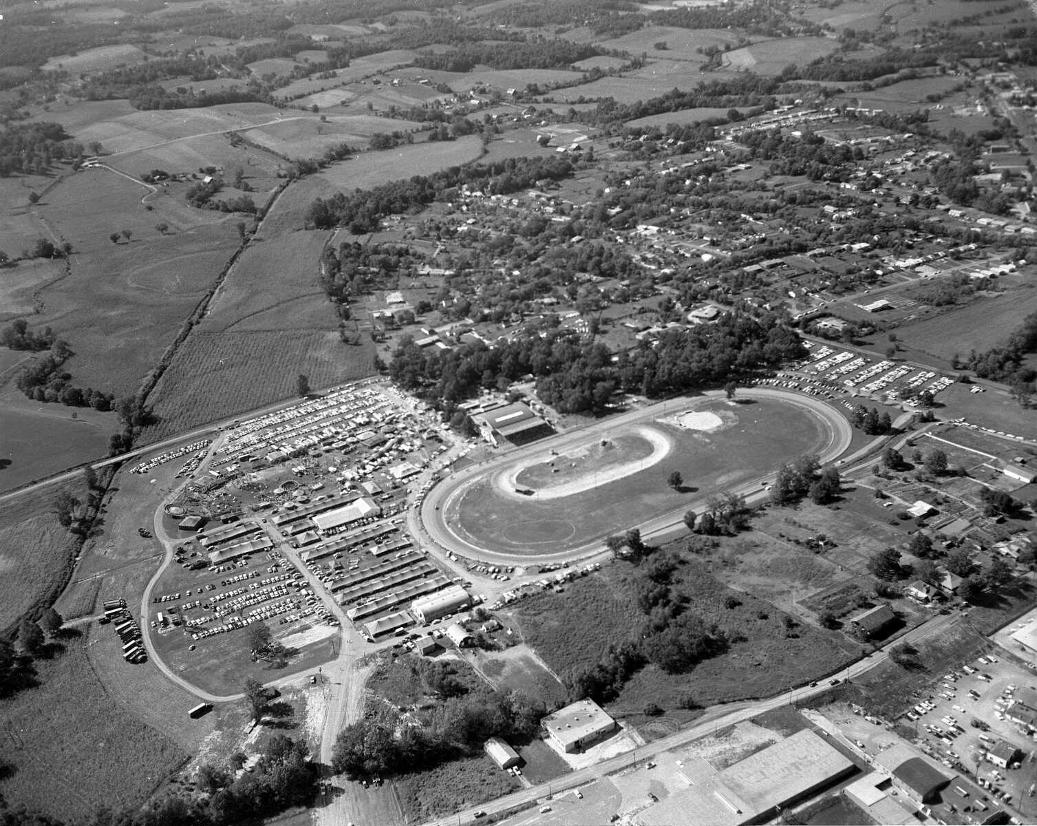 Arena Park during the fair.
 -
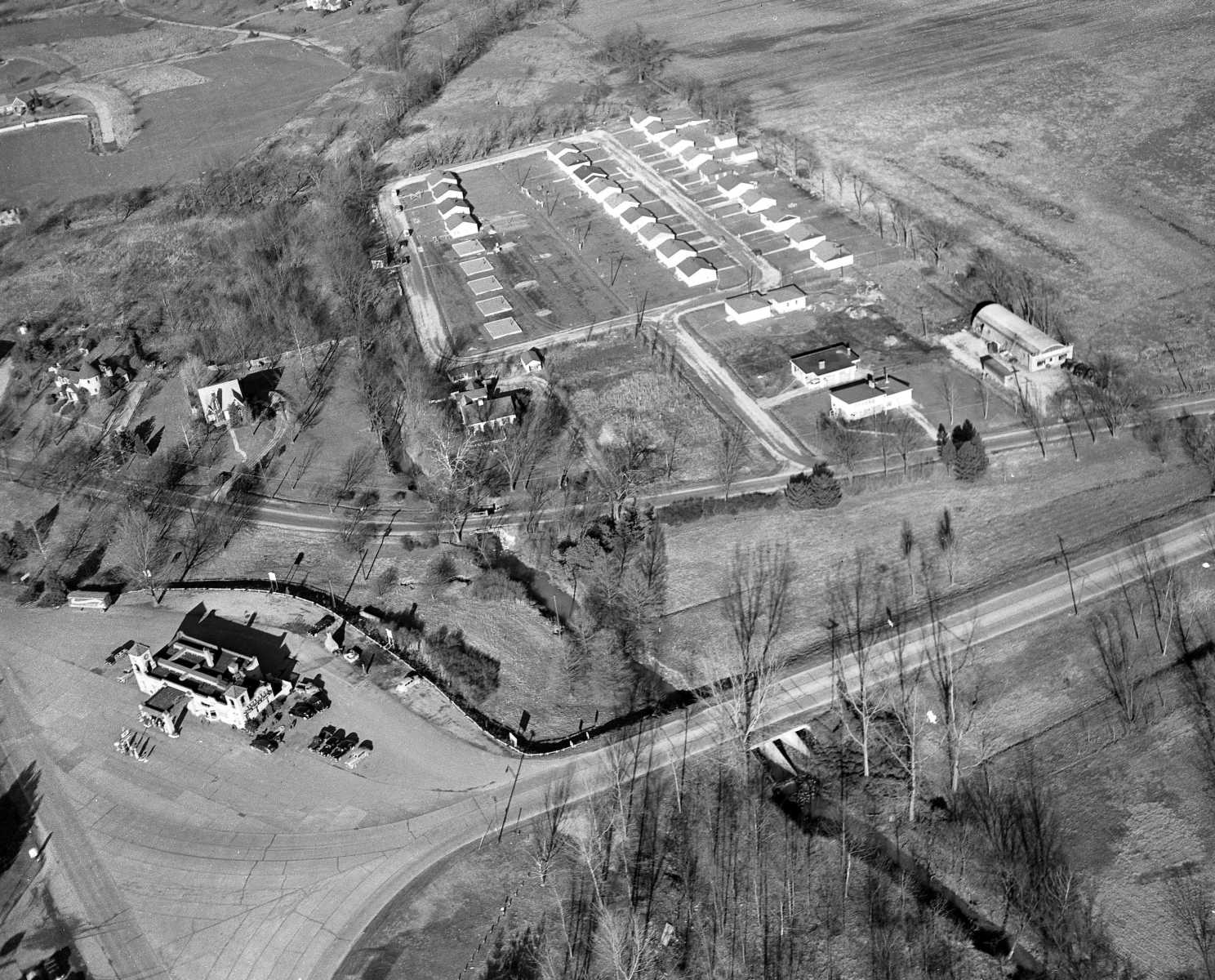
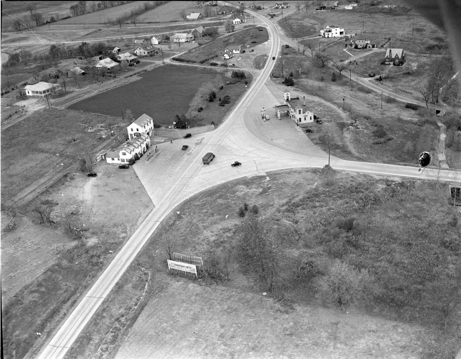 Colonial Tavern is at left and the Alvarado is at right.
 -
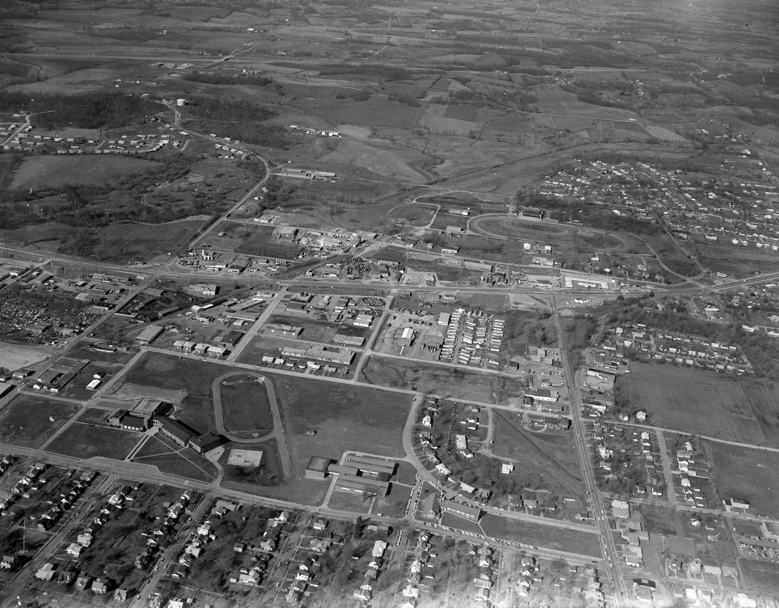
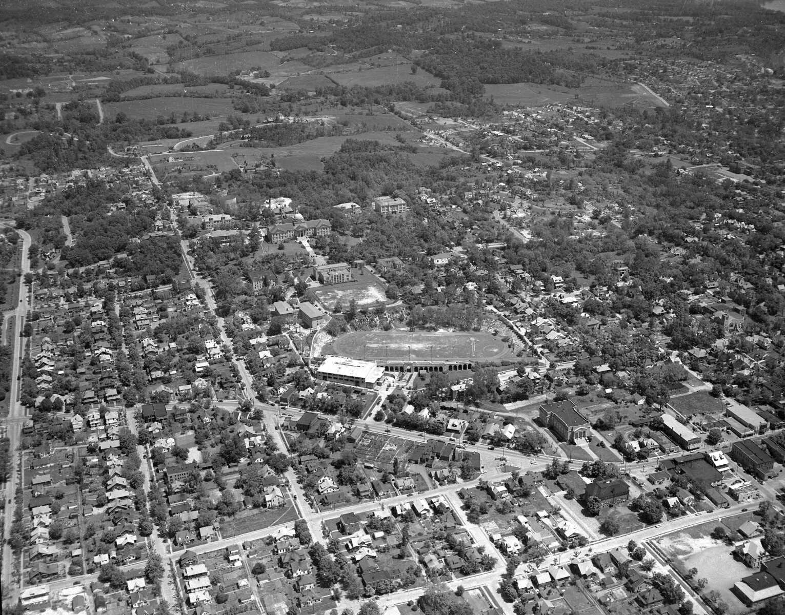 Houck Field House and stadium.
 -
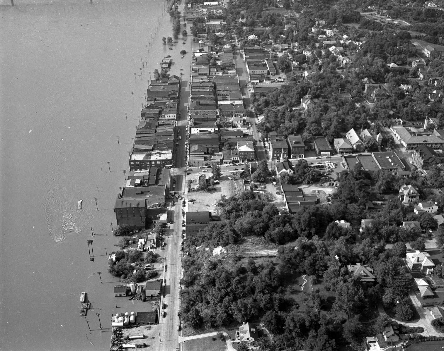
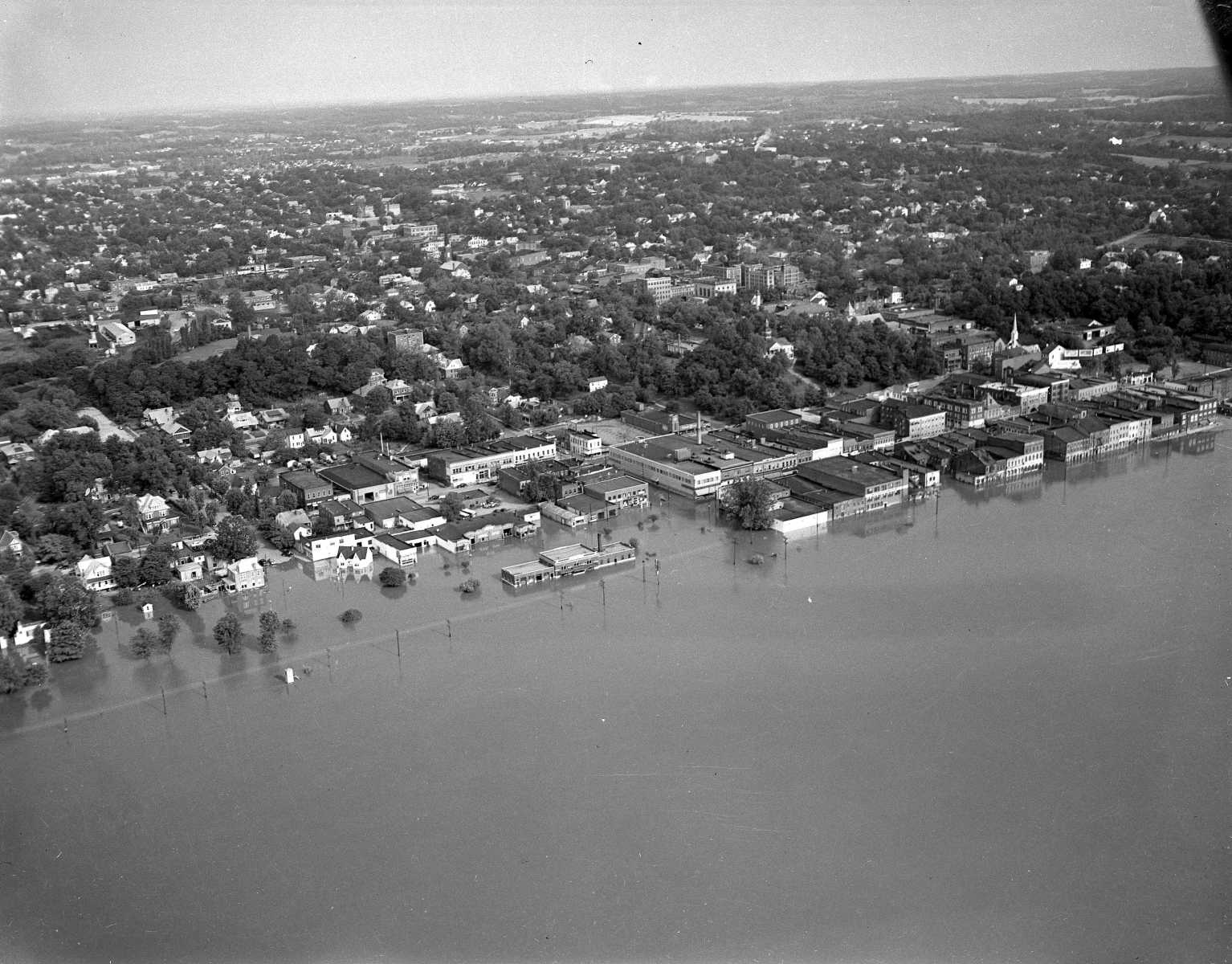 A flood in downtown Cape Girardeau before the floodwall was built.
 -
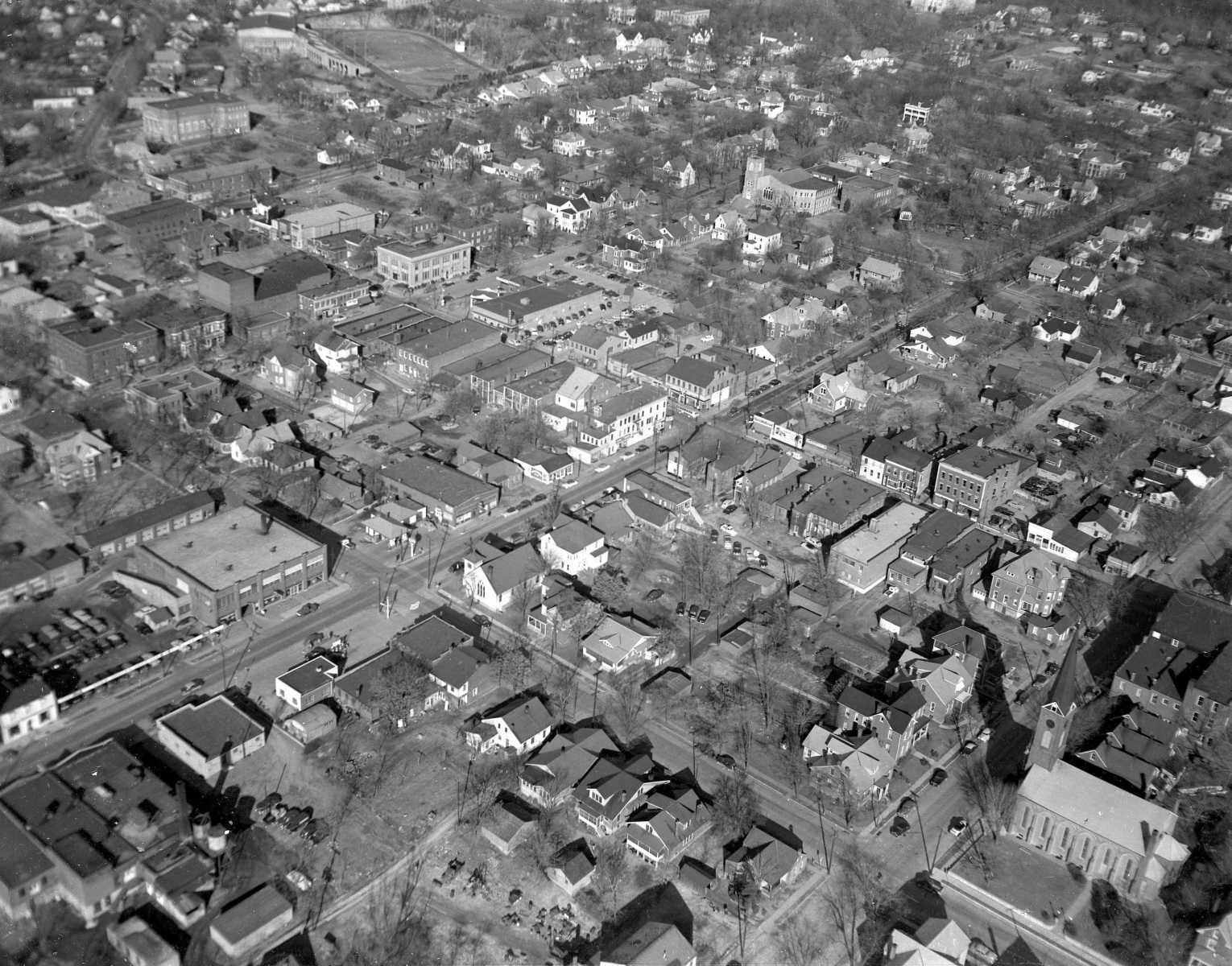
 A shot looking west along Broadway.
 -
 East along Independence Street.
 -
 Looking east from near Kingshighway.
 -
 Downtown Cape Girardeau during a flood.
 -
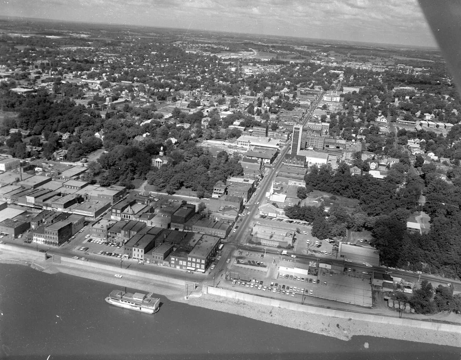
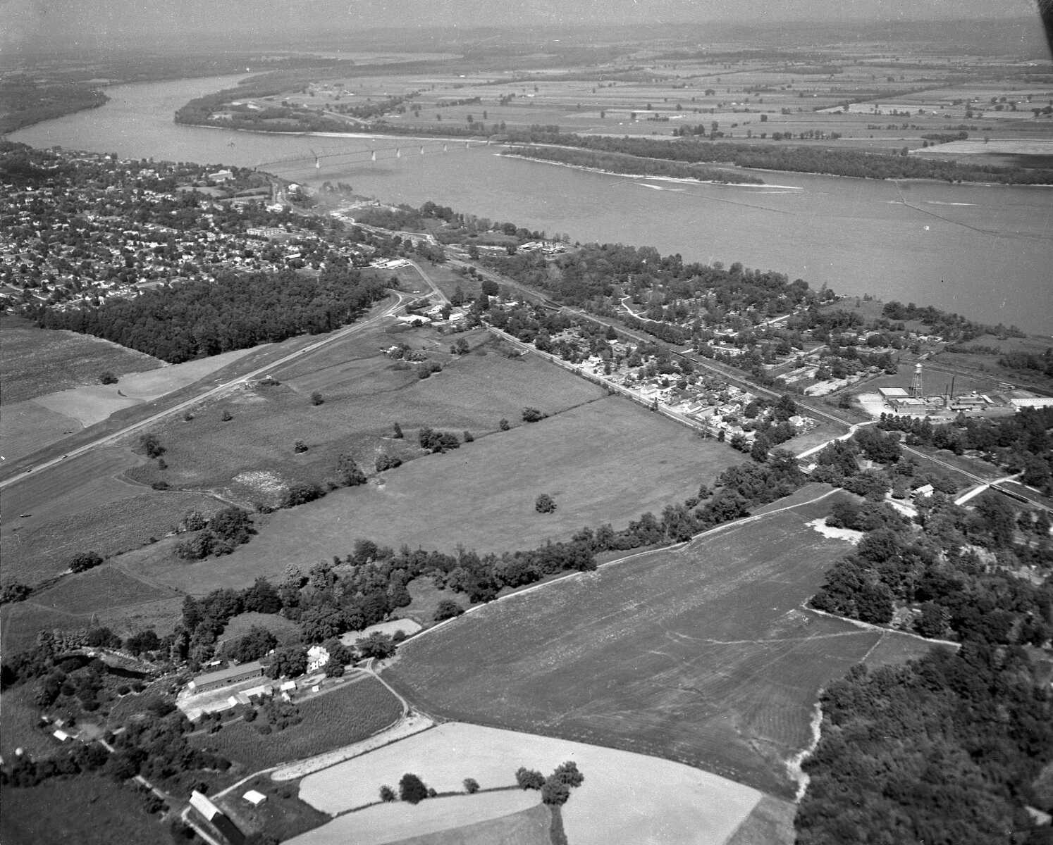
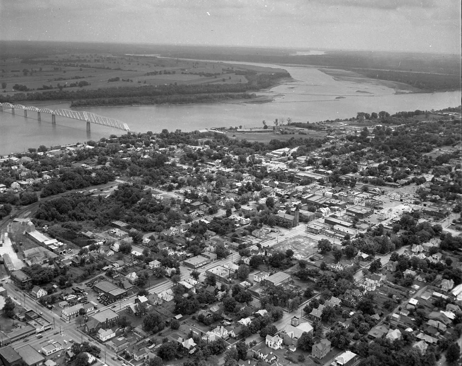
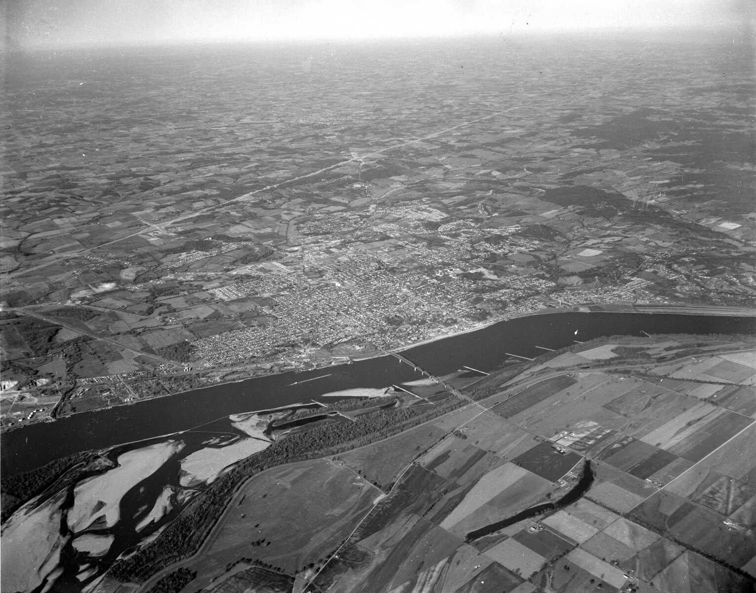 Cape Girardeau nestled along the Mississippi River.
 -
 The Haarig area, with St. Mary's Cathedral at the bottom of the frame and old Saint Francis Hospital in the center.
 -
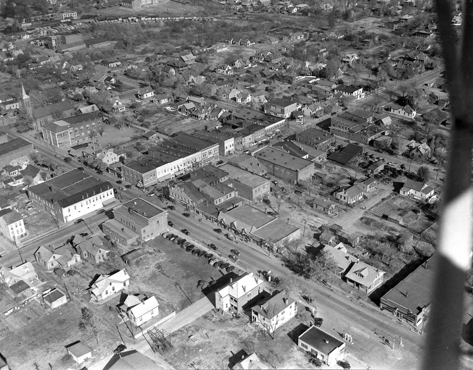 The Haarig area at Sprigg and Good Hope streets.
 -
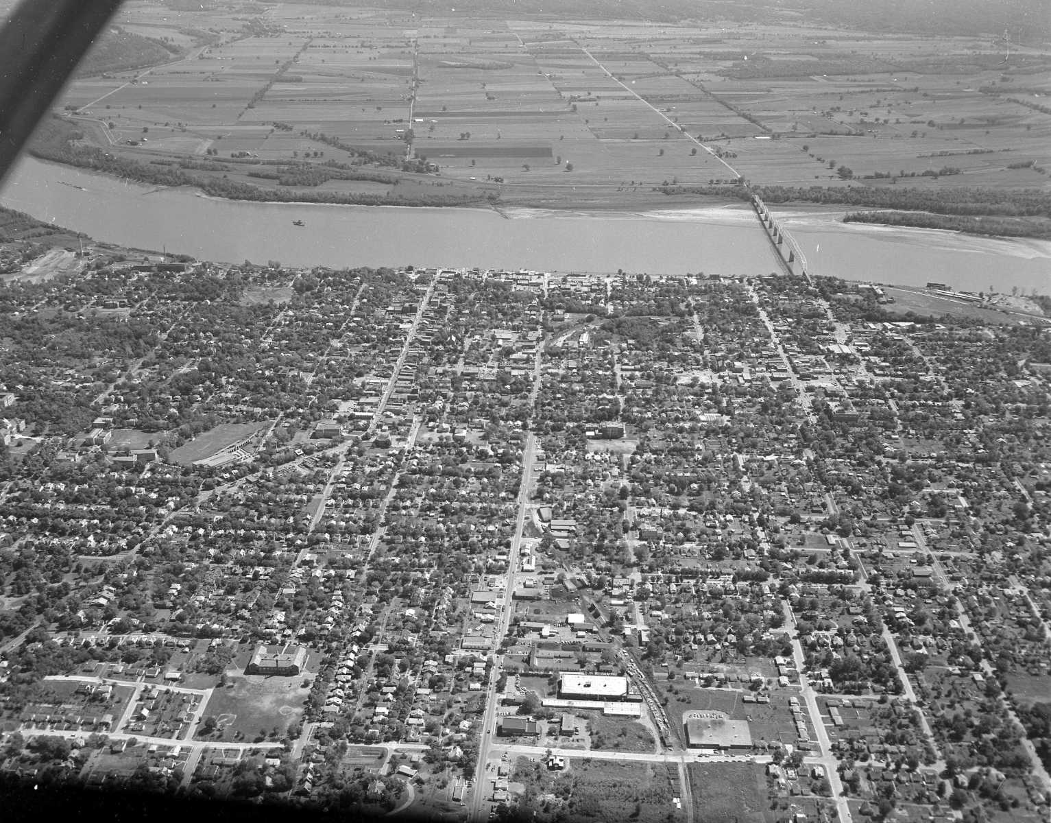
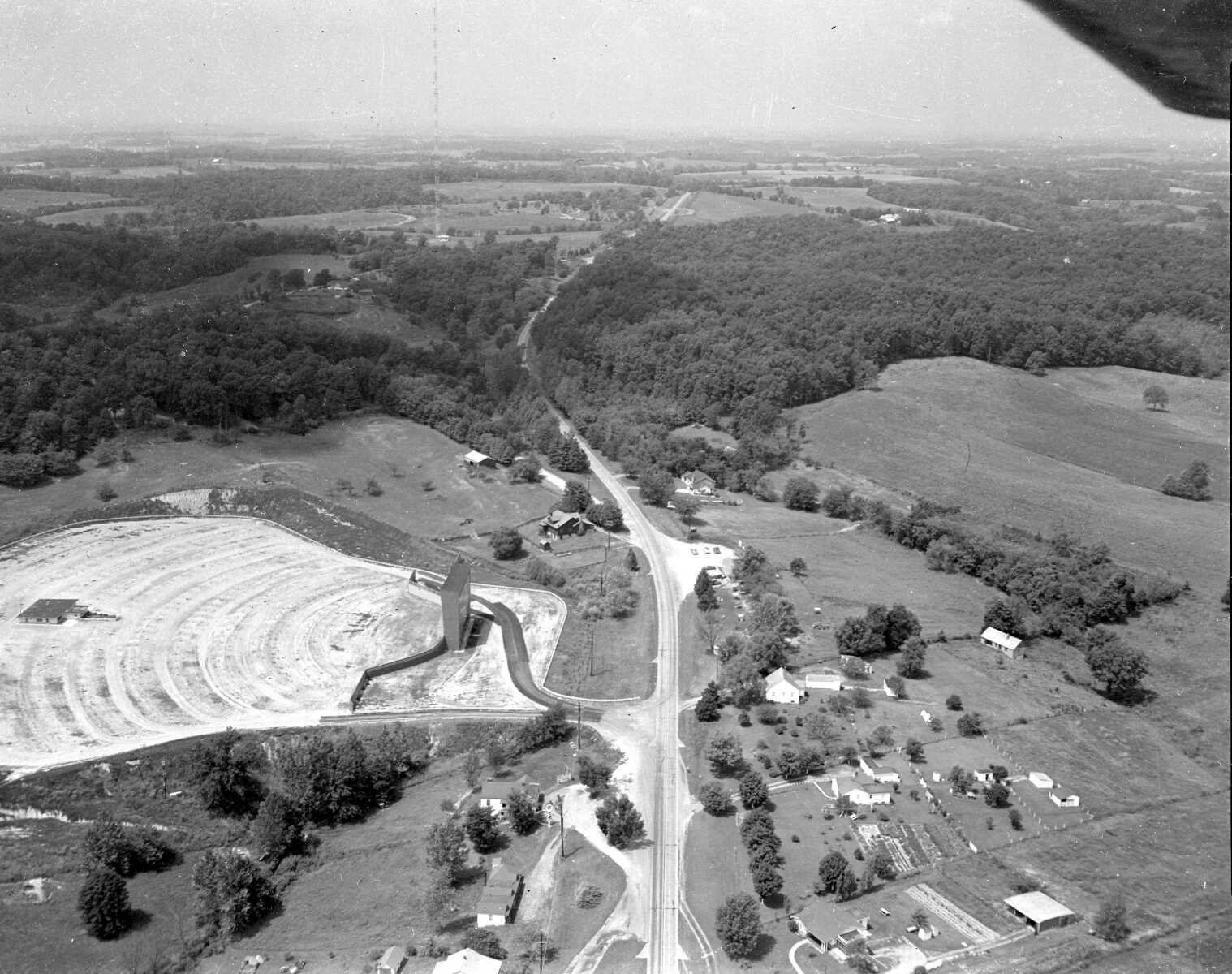
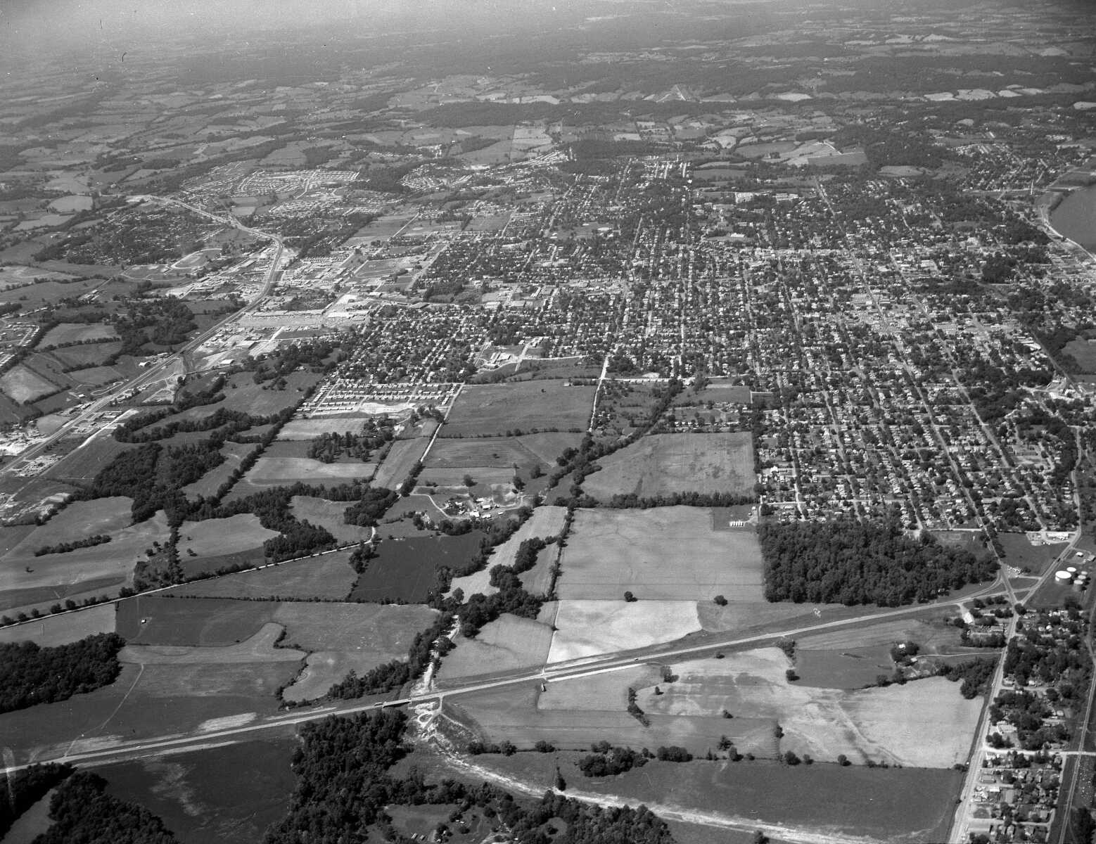 Cape Girardeau from the south along Southern Expressway.
 -
 Sprigg Street looking north from Good Hope Street.
 -
 The Alvarado at Broadway and Kingshighway.
 -
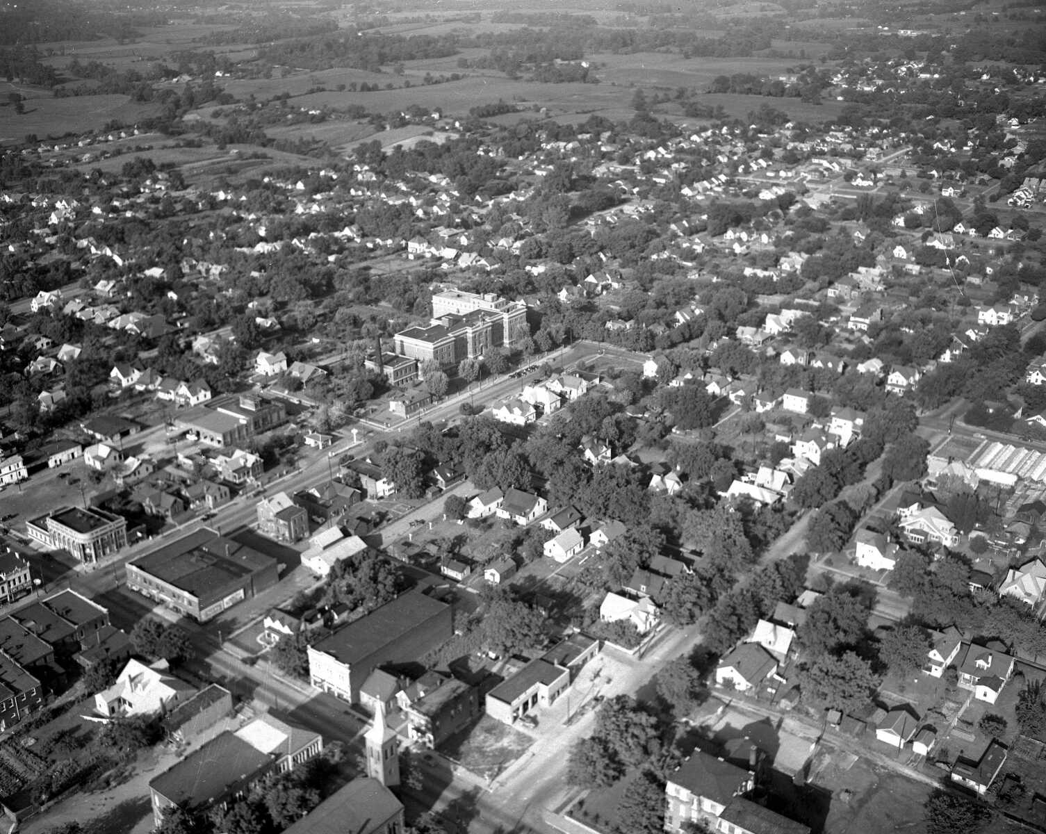
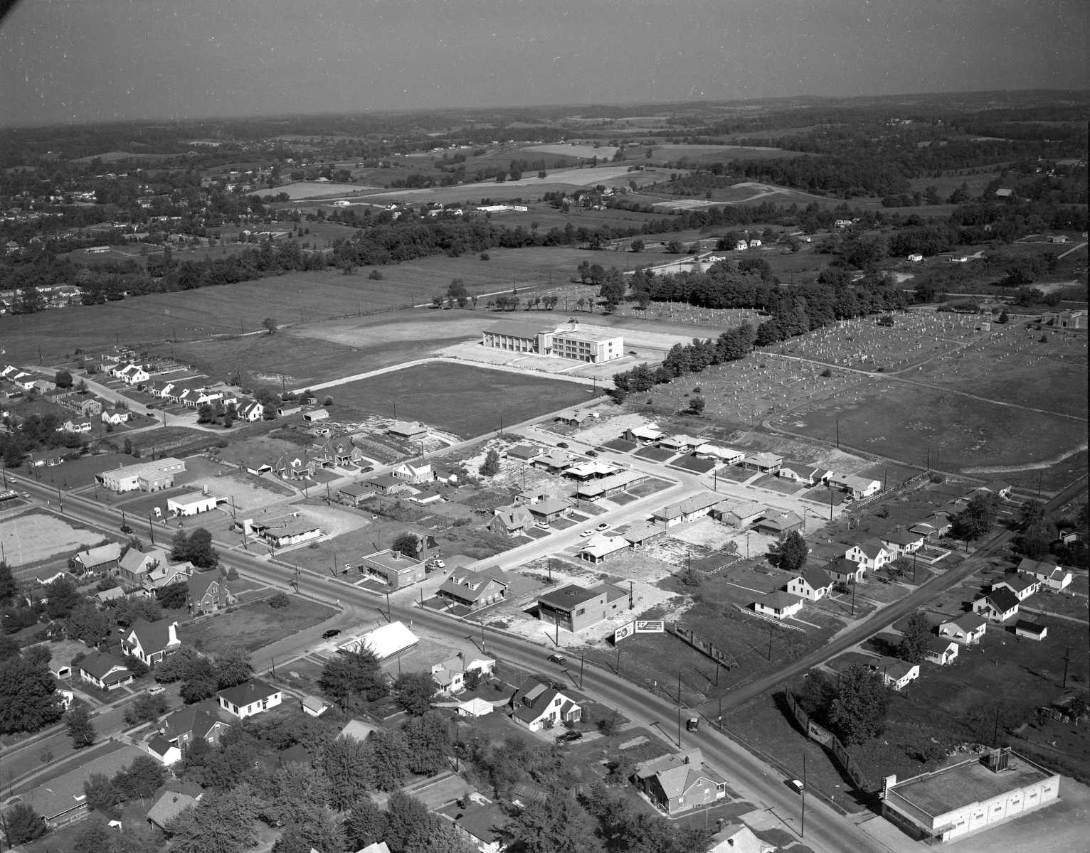
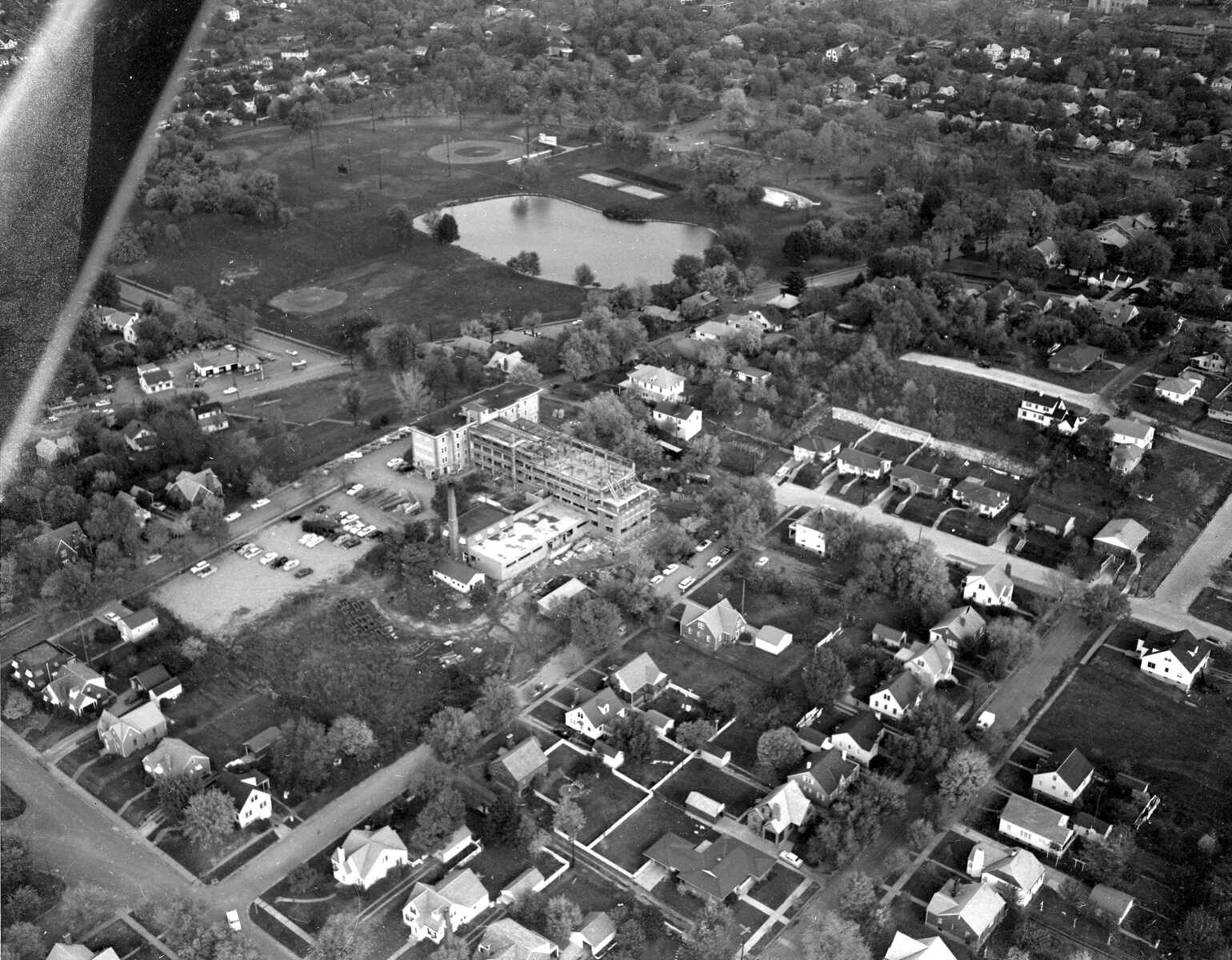 Southeast Missouri Hospital's addition is under construction in the center of the photograph.
 -
 Old Saint Francis Hospital on Good Hope Street.
 -
 Smelterville and South Cape.
 -
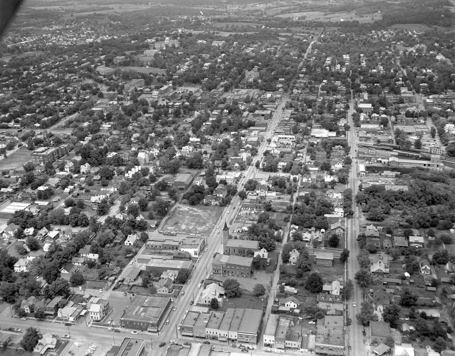
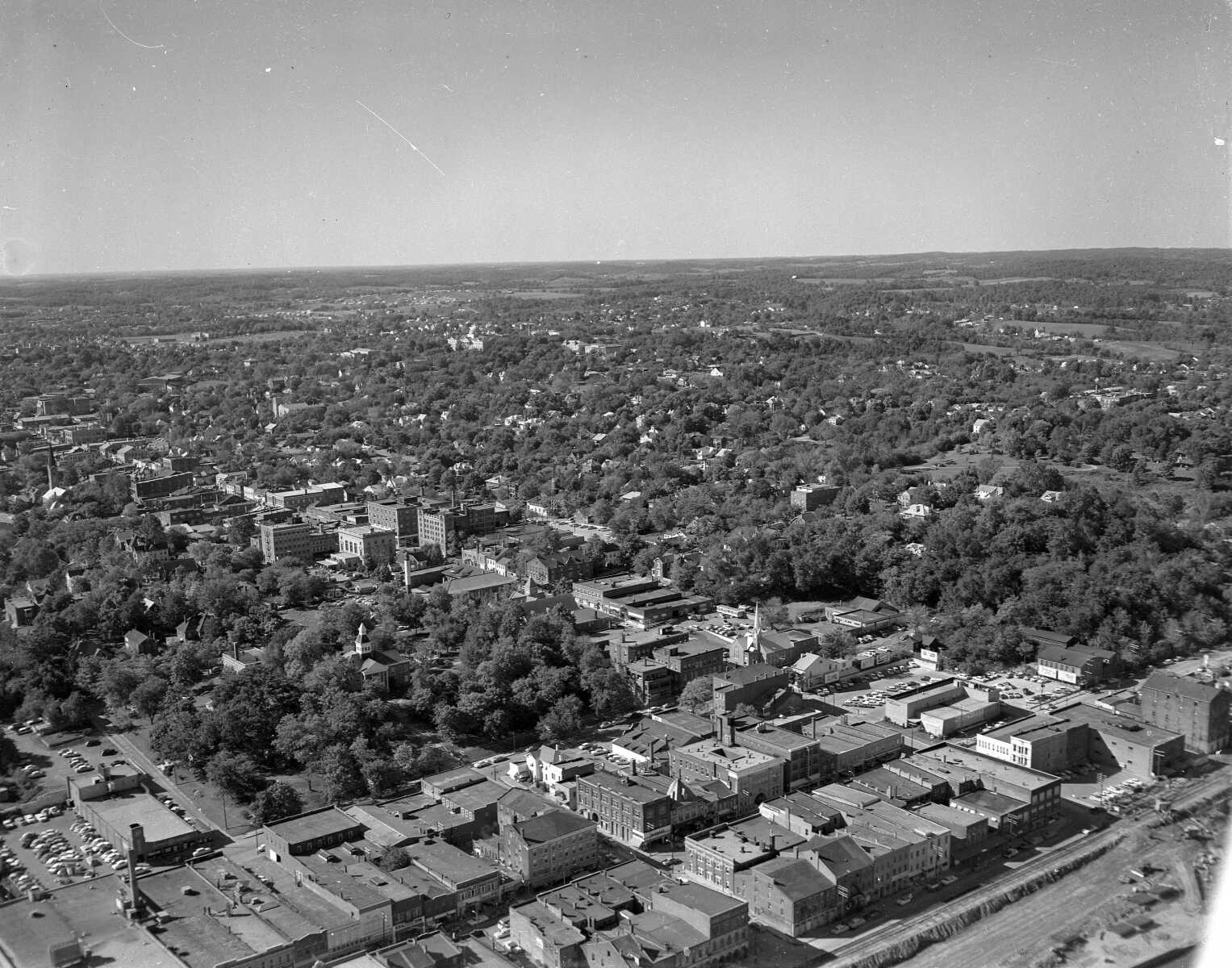
 Broadway, with Southeast Missouri State University.
 -
 Downtown Cape Girardeau during construction of the floodwall.
 -
 Broadway near Caruthers. Old Notre Dame High School is in the background.
 -
 Sprigg Street near Themis. Old Trinity Lutheran Church is at the bottom right.
 -
 Looking southeast from near Sprigg and Independence streets.
 -
 The Star Vue Drive-in Theater.
 -
 Looking southwest from near Sprigg and Independence streets.
 -
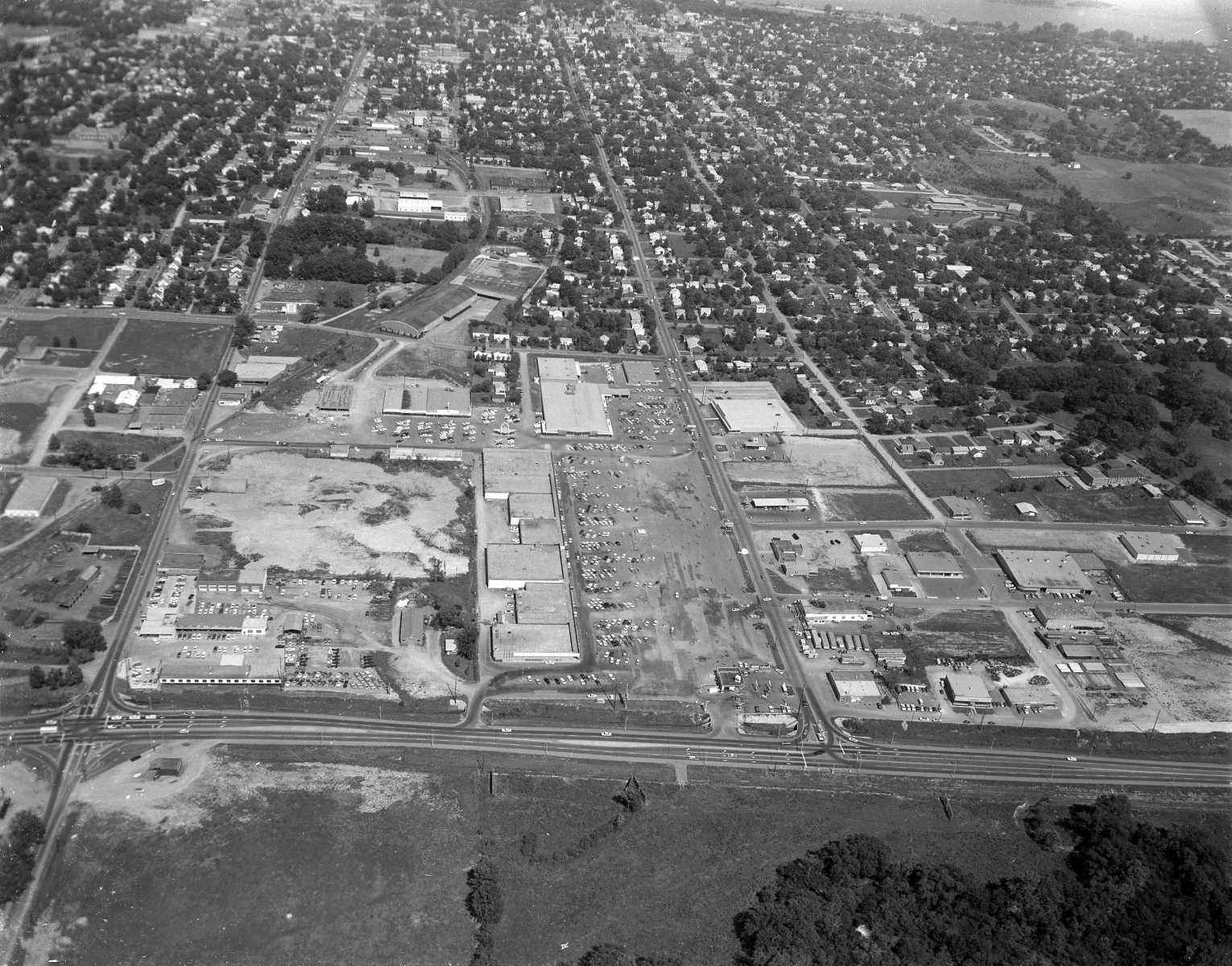 The Town Plaza Shopping Center.
 -
 The old Central High School on Caruthers.
 -
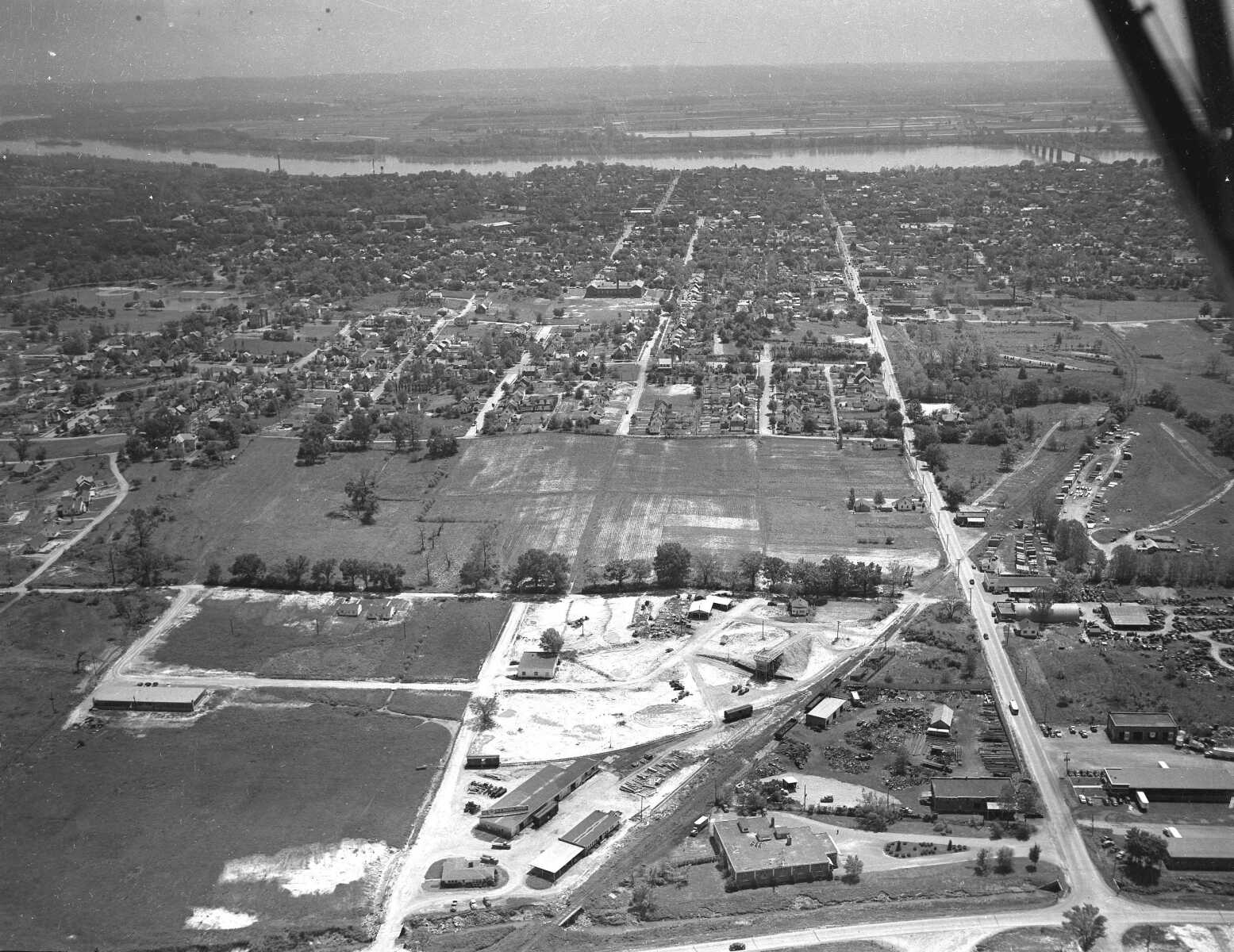
 Looking west from Happy Hollow.
- Email link
- Contact editor
- Report error
- Share: